Generic selectors
Exact matches only
Search in title
Search in content
Post Type Selectors
Generic selectors
Exact matches only
Search in title
Search in content
Post Type Selectors

Woodpecker Trail, Ajax Mine

No Reviews
Location Florence, AZ
Rating Difficult,
Length 6.4mi
Time 3hrs

Vehicle Types

Overview

Well-known Arizona hard-core trail follows rocky creek bed.

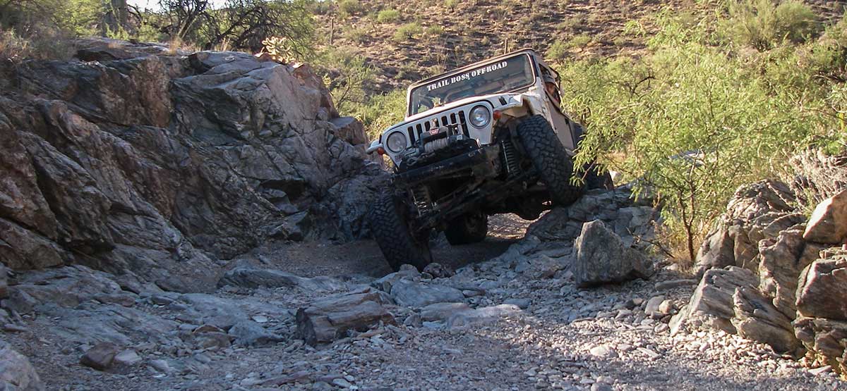
A popular hard-core trail mixed with a little scenery. Locals know this trail as Upper Woodpecker, but since Lower Woodpecker is now closed, we see no need to differentiate the two. Always drive this trail with at least one or two other vehicles. Take plenty of water. We rode this trail on our ATVs several years ago for our ATV Phoenix book and brought our ATV again this time. (See page 16 and map on page 149 if red flag is flying at entrance to Cottonwood Canyon Road or Mineral Mountain Road.)

Rating

Difficult
Trail Ratings Defined

Trail follows rocky creek bed with large boulders and narrow passages. Most difficult obstacles have bypasses. Lockers, skid plates and over sized tires a must. It’s a good idea to carry extra parts.

Stats

Length

6.4mi

Time

3hrs

High Point

3,022ft

Best Time To Go

Feb-May, Sept-Nov

Current Conditions

(520) 258-7200Gila District, Tucson Field Office

Check the Weather

No updates yet.

Provide an Update

Free GPS download

Reviews

Be the first to review this trail by clicking the button below

Rate this trail on a scale of 1 to 5.


by Webolutions Digitial Marketing Agency


Cancel Agree