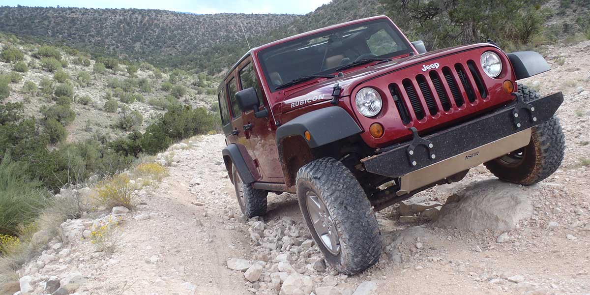
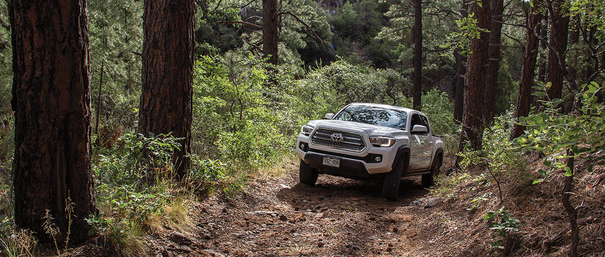
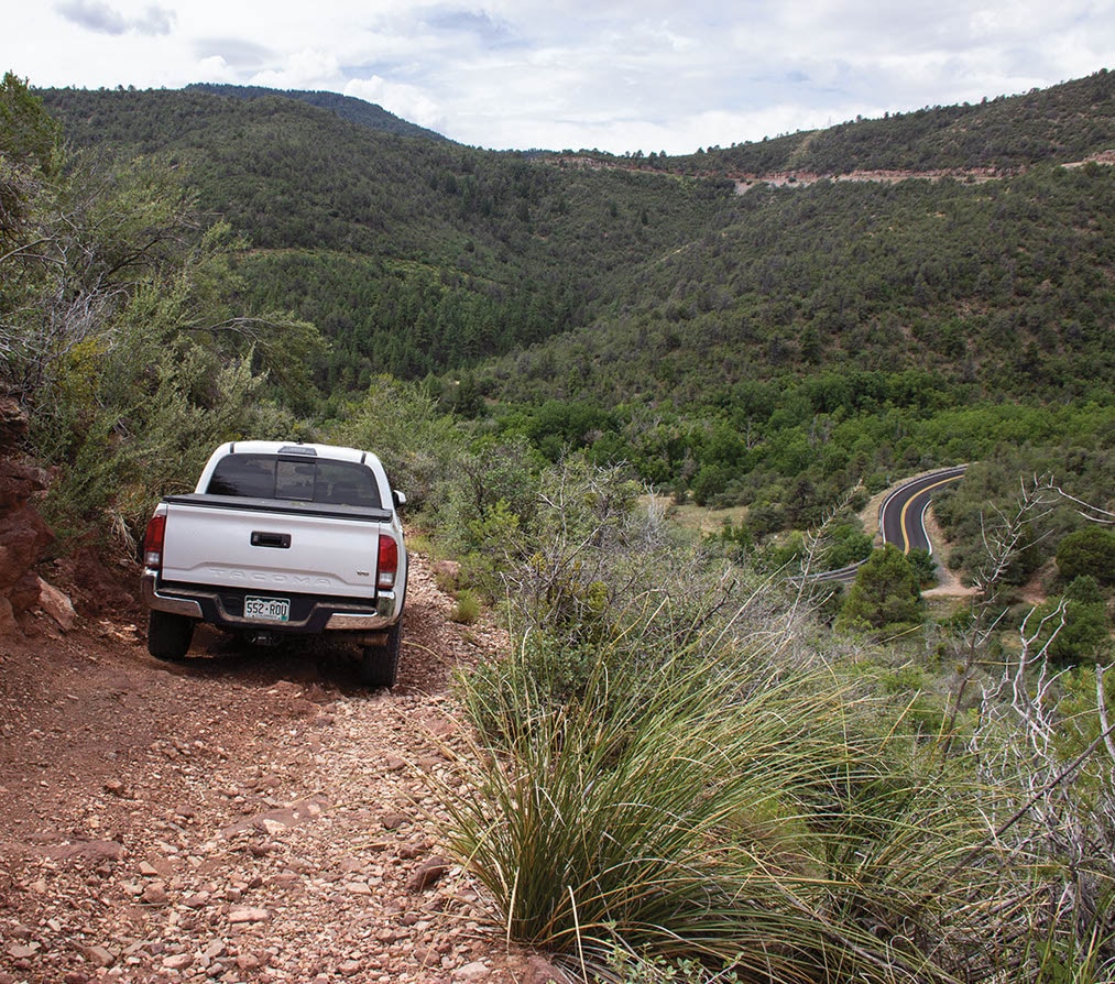
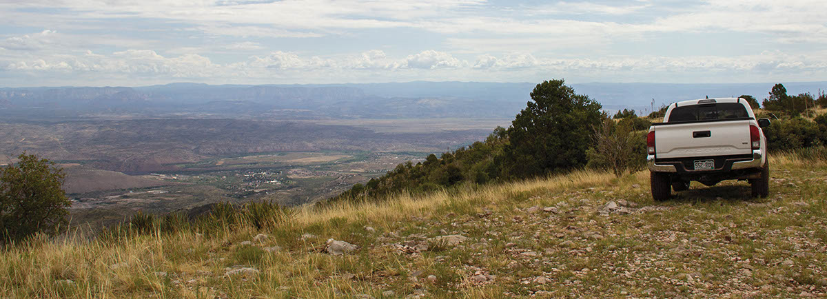
Just getting to this trail is a scenic treat. You’ll climb through Jerome, a quaint historic mining town, art center and bustling tourist attraction with great restaurants and art galleries. After the town, 89A continues to weave its way to the base of 7,860-ft. Woodchute Mountain. Once on the trail, you’ll climb halfway up the mountain, then level off on a twisty adventure across the mountain’s face. Breaks in the trees offer high views of impressive Verde Valley.
(928) 567-4121Prescott N.F., Verde R.D.
Check the WeatherNo updates yet.
Provide an Update04/01/2022
Submitted by Bob
We ran this trail early April, 2022. Very overgrown and brushy. AZ pinstriping guaranteed! Due to the heavy overgrowth not very scenic. I will not be running this trail again
10/04/2021
Submitted by Amos
We started at what is the “end” of the trail in the book (Waypoint 05, N34 44.502, W112 08.116). The first parts are narrow with lots of brush. At waypoint 04 where we would have stayed left to stay on the trail we went right to the viewpoint indicated in the book. The views are fantastic. There are also several springs that keep the road muddy in places; they are likely dependent upon the monsoons, we’ve had lots of rain this year so they may not be there in other years. Continuing down to C.R. 72 became an adventure in the last mile or so: steep, tight turns; a couple of large rocks; a very sloped area over a steep drop where my Jeep lost traction and slid a bit as I moved forward across it (the scariest part for me), with a final steep hill that is very rutted. I drove a stock Wrangle JL 4-door; bottomed out a couple of times but not seriously and made it out without damage. But I recommend a higher ground clearance than stock, off-road tires (I was on stock street tires), and skid plates. This was my first serious off-road adventure; the fellow in the other jeep (a very modified Recon edition) said that the last 500 yards qualified as rock crawling. Overall, if I were going to do it again I would turn around at the viewpoint and retrace the route to 89A. I think the viewpoint offers very nice camping possibilities for those who like camping in the open rather than under trees. Great views of the Mogollon Rim in the Sedona Area, San Francisco Peaks, and more. I mentioned the springs in the area, but they are not potable water without a lot of filtration, so bring your own water if you are camping. I noticed some tracks going off the right to a knoll, about 3/4 mile past the turn. I think that would be a good spot.
08/27/20
Submitted by Thomas
Lots of fun driving and several great viewpoints! Rather bumpy, very rocky, but no big boulders, typical moderate. Prius has no chance here! Few spots need driver attention. Run it all on 4L, and sway bar disconnected for a smoother ride. No need for lockers or tire deflation. However, the trail really needs major brushing, we were constantly running into branches from both sides and even from the top. I would not take full-size vehicle here. The trail is lightly traveled, I suspect because the gates on both ends may scare people. These are for livestock, not for cars! This is 100% public land.