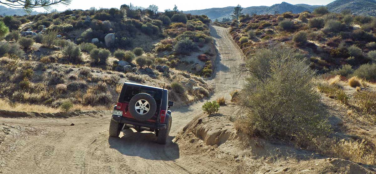
Most of the Willow Creek Road is wide, easy and well maintained.
A fun, easy route for just about any 4×4 SUV. Road is open to green-sticker vehicles with many legal side roads to explore. Green-sticker vehicles usually start at Pinnacles Staging Area where we end our description. Stay on paved Highway 173 to go to staging area.
Hot in summer.
(909) 382-2790.San Bernardino National Forest, Big Bear Discovery Center.
Check the WeatherNo updates yet.
Provide an Update06/27/2022
Submitted by David
The middle part of this route is definitely no longer EASY. I traveled it today in my new Bronco Sport Badlands and earned some wear and tear on the underneath. Nothing serious I don’t think. When the difficult part was over (traveling west to east, opposite of how described in your guide). I looked back and saw a sign indicating “MOST DIFFICULT” as in highest difficulty rating given by the San Bernardino National Forest or whoever rates the trail. I was confused thinking I was not on 3N34 all the way since your guidebook (published 2014) makes it sound pretty easy with few places 4WD is needed. I actually drove this route in 2013 and I am almost certain is was nothing like it was today in that middle section. I know when I drove it because I have record of finding 3 geocaches along that difficult part. Back then I was driving a GMC Envoy with 4WD but I was even more a beginner then than I am now and have no memory of todays challenges. I remember it in 2013 as your book describes on 2014. So, as your book states, things can change and I am amazed at how they have here. I also read reviews on All Trails which agreed with my assessment of today. I will also note that I turned right off 3N34 at 2N75 to return to the civilized Lake Arrowhead area (camping at North Shore Campground
11/23/2021
Submitted by Steve
Guide book shows start off of Hook Creek Road. Hook Creek Road is closed before you can reach the trail. We went to Pinnacles Staging Area for access to Willow Creek Road.
07/07/2021
Submitted by Russ
The trail was closed indefinitely to traffic.
12/28/2021
Submitted by Joey
Gate at Hook Creek road now closed to Vehicles. Locals say it’s been closed for a while so this may be a permanent change.
This trail has changed. Went last week 3N34X is Black Diamond and the remainder is Blue.
Ran this trail in reverse. the entrance off of Hook Creek road has been closed to vehicles (i think permenantly),...See More