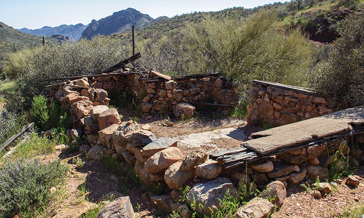
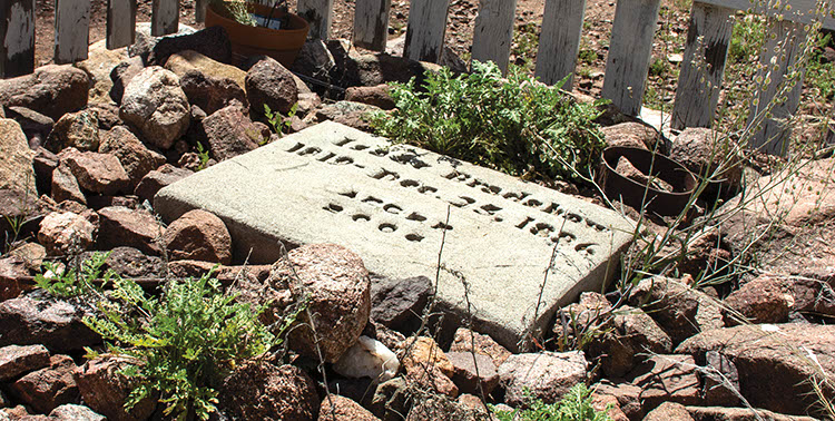
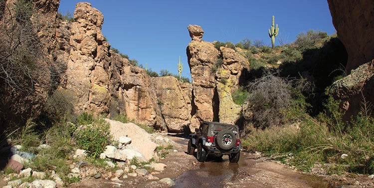
Great mountain views in a truly remote setting. Visit Bradshaw’s Grave and cabin ruins at Copperopolis Townsite. Enjoy a scenic exit through a narrow canyon with high cliff walls. We saw many campers and UTVs staged on Constellation Road on our way in. Great trail for non-street-legal vehicles. Don’t go alone.
(623) 580-5500Bureau of Land Management, Hassayampa Field Office, Phoenix District
Check the Weather05/18/2025
Submitted by Melissa
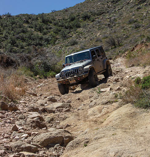
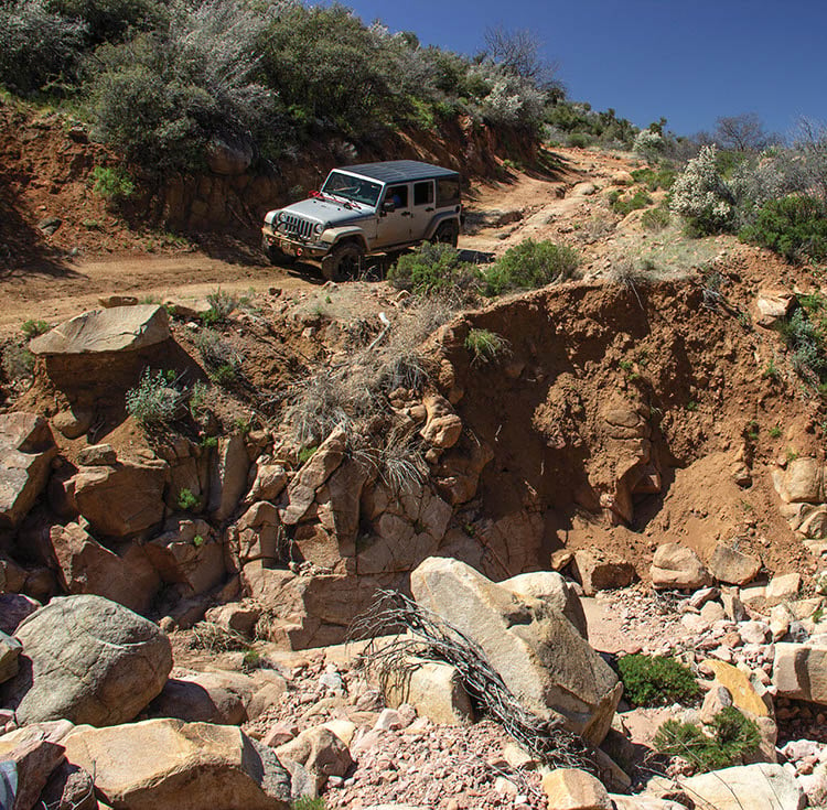
The trail between points 1 and 2 is extremely brutal. You should not even attempt this without at least a 3in suspension lift and 35s. Not at least if you plan to enjoy any of the scenery that day. If you make it out of that unscathed, it’s NOT over by a long shot…
10/30/2020
Submitted by Ivan
I completed the trail yesterday. Started at lake pleasant, took the south bypass than took the trail From Wickenburg back to lake pleasant. The trail was open. Some areas were tough by my RZR made it with no problems. Very fun time
7/10/2020
Submitted by Tom
There are a number of trees down across the trail at Iron Spring (N34° 04.940′ W112° 31.941) that are blocking anything over about five feet tall. They are large enough that it’ll take a chain saw and some winching to clear the trail. Could not find a bypass. The blockage is about 0.2 miles south of Waypoint U4402, so if one runs it backward it’ll turn into a rather long 17.5 miles in and 17.5 miles out.
11/7/2017
Submitted by David K.
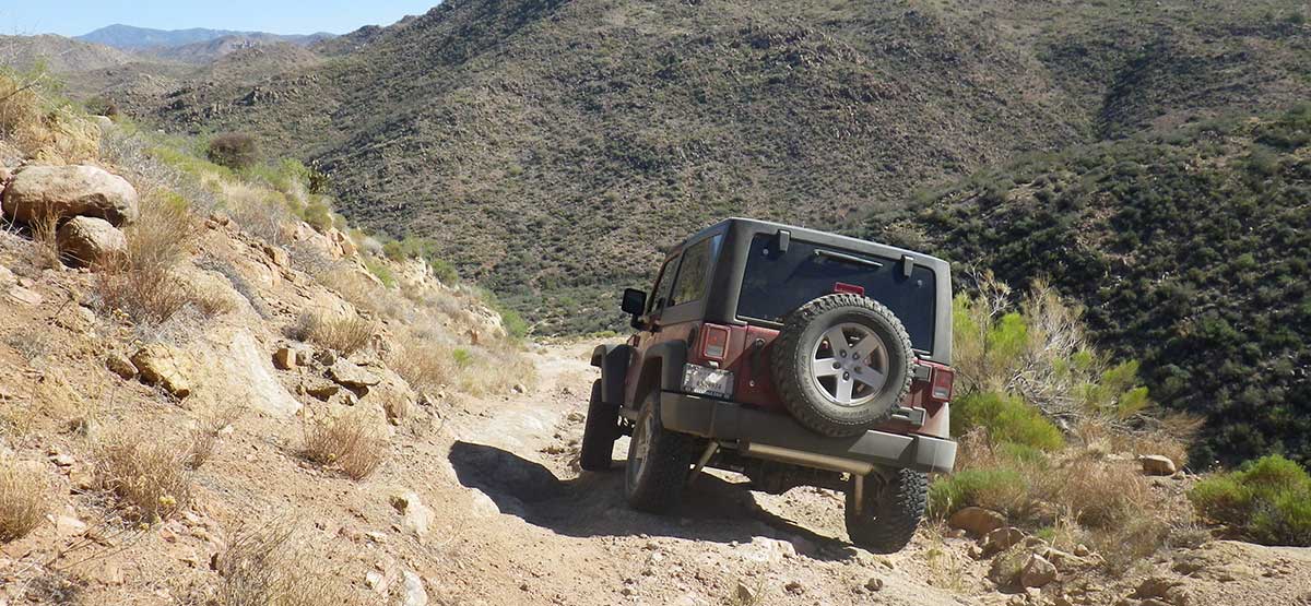
I started backward from Lake Pleasant. I made it past Point 04, but not too far after that, probably around the UFO mine location, the road becomes very very washed out. I had to back up a ways and turn around. I have an 84 Toyota truck 5″ lift 37″ tires and lockers, no winch and I did not feel safe to continue. I was also by myself but maybe with others, it could be done. A UTV could probably do it.
This is a scenic trail and worth the trip. We had trouble following it because waypoint 06 has the incorrect...See More
Just ran this trail from the Wickenburg end last weekend. One JK, one LJ, and one TJ with an inexperienced...See More
We attempted this trail on 2-15-2020 and found a section that was very washed out with deep ruts. We felt...See More
I drove it today June 1, 2024. I agree with the book characterization very much. This seems to be the...See More
Ran this trail on January 3, 2026 in a modified Jeep Rubicon. We started in Wickenburg and ended on Castle...See More