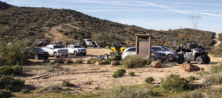
A fun drive offering real adventure. Beautiful Sonoran Desert with towering red buttes on all sides. Northern part of the trail borders White Canyon Wilderness with many popular hiking trails. Southern half runs alongside the Gila River. A small portion of trail crosses State Trust Land, so a permit should be carried. This is a popular area for non-street-legal vehicles. Staging available at start of Battle Axe Road. Stay on designated routes at all times.
(520) 258-7200Gila District, Tucson Field Office
Check the Weather05/17/2024
Submitted by Ralph & Lu
We took the loop yesterday and found very rough conditions. The past rains have brought ALL of the head-sized rocks to the surface.
Parking lot to hot spring OK. Rough ride over the pass and down to near the reiver where the wash starts.
04/26/2023
Submitted by Josh
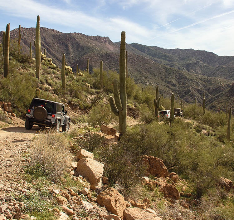
If you’re looking for a great challenging trail that gives you that oh $&;# rush at times this is it! Definitely need modified vehicles. At times lockers would have helped but we got thru without them. Awesome scenic views from parts of the cliff edge trail. Prepare to go slow much of the way and airing down will give a smoother ride. Took us around four hours. Both had wranglers with 35” tires and a 2” lift. Enjoy!!
01/22/2023
Submitted by Graham
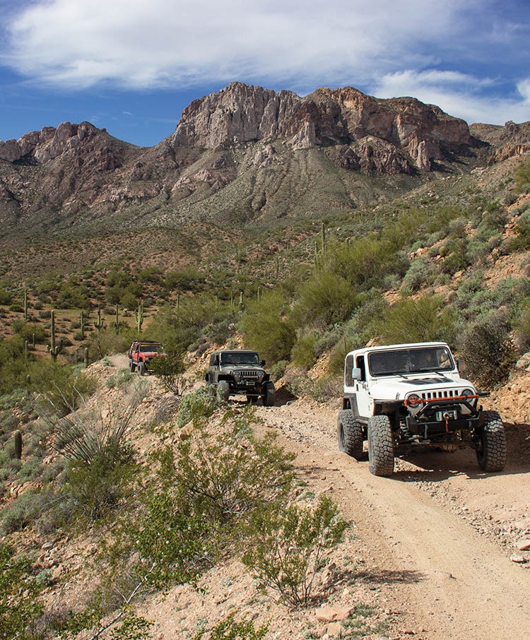
We had 11 Broncos in a group on the trail, The trail is in decent shape. Very rocky in places, with some deep ruts in others and a few washouts. Everything was still passable without any issues. Be prepared for some pinstripes as there are some overgrown areas. This is a fantastic trail if you are looking for serious variation (Seep climbs and descents, ruts, rocks, stream crossings and sandy/wet washes.). We were all on 35’s and 37’s and I would suggest no smaller than 33″ tires, but recommend 35’s or larger.
12/22/2022
Submitted by Adam
I’d say this is not recommended for beginners now or even stock 4×4. We are both in TRD pro 4Runners with 3-inch lifts and 33” inch tires. Hit skid plates multiple times and had to use lockers a couple of times. Road down to the first wash is very rutted but nothing crazy bad since it’s not steep. Pretty slow going most of the way. Amazing views the entire time. The downhill between waypoint 5 and 6 was the most difficult as it says in the trail guides. We both got up on three wheels multiple times and definitely had our “oh sh$&” moments. The wash section at the bottom is terribly tight and easy to get lost. You will get covered in pinstripes.
11/25/2022
Submitted by Craig
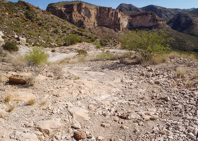
Took a 2020 Toyota 4Runner TRD Pro with 2″ lift, 32″ tires. We got to the first descent into the wash at 1.4 miles and found the trail so washed out, dug out and off-camber that we decided to simply turn around and find something else to do. I probably could have made it with careful placement (but was worried about getting high-sided due to my wheelbase) and figured it was a bad sign of things to come. Definitely not a great one for larger vehicles in its current state; probably best for UTVs. Rating should probably be turned up to difficult at this point to be honest.
2022/03/18
Submitted by Susan
Beautiful, but ruts between points 5 and, 6 are very deep and steep, much more so than last year. Rated harder than moderate.
2018/11/23
Submitted by Thomas
I was just there and the section between 5 and 6 is pretty bad. The section closest to the river bottom is especially bad. I did the loop in reverse because I missed the turn to start the loop so it may have just been worse going up. I would prepare for this spot to be worse than you expect. I did enjoy this trail a lot and it is in my top 10 favorites now.
2017/12/08
Submitted by David Stephens
There is some confusion as to the validity of the route between Waypoints 7 and 8. It is physically marked as a hiking trail. FunTreks clarified with the BLM office that since the route is on State Trust Land it is considered a shared route and legal to motorized vehicles. The BLM also asked FunTreks to change the route from Waypoint 2 and 3 (that follows the wash) to now use the main road. Waypoint 4 is not shady anymore, the natural spring is being used for private use.