Generic selectors
Exact matches only
Search in title
Search in content
Post Type Selectors
Generic selectors
Exact matches only
Search in title
Search in content
Post Type Selectors

Spanish Route

No Reviews
Location Shaver Lake, CA
Rating Difficult,
Length 5.1mi
Time 1 1/2hr

Vehicle Types

Overview

No major obstacles but trail is tight, steep and rocky in places. Lots of downed trees and big tree roots. Aggressive stock SUVs can do it, but damage is likely.

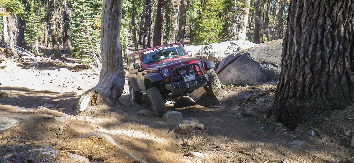
This trail doesn’t see a lot of traffic because it’s a long way from Shaver Lake. Fortunately, the entire drive to the trail is paved. The trail is cut through thick trees, so views are limited to the top of two large rock outcrops. There’s camping at the end of the trail, which climbs above 9,000 feet, but again, trees block the views. The lakes are good size, but you must hike to them, so you’re likely to find seclusion if quiet fishing is your goal. Open to green-sticker vehicles. No side trails to explore or turns to get confused.

Rating

Difficult
Trail Ratings Defined

No major obstacles but trail is tight, steep and rocky in places. Lots of downed trees and big tree roots. Aggressive stock SUVs can do it, but damage is likely.

Stats

Length

5.1mi

One way

Time

1 1/2hr

End of trail

High Point

9,112ft

Best Time To Go

July-November

Current Conditions

(559) 855-5355.Sierra National Forest, High Sierra Ranger District.

Check the Weather

No updates yet.

Provide an Update

Free GPS download

Reviews

Be the first to review this trail by clicking the button below

Rate this trail on a scale of 1 to 5.


by Webolutions Digitial Marketing Agency


Cancel Agree