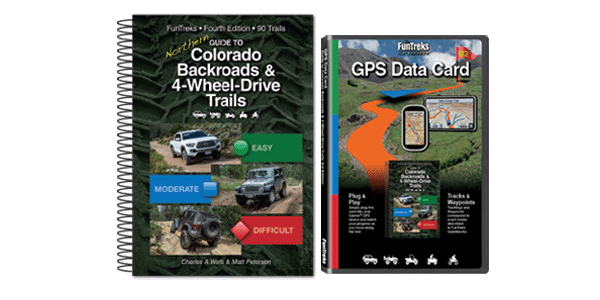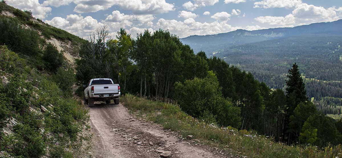
Trail starts as a slow climb through forest with occasional views. As you descend F.S. 202, the trail hugs side of mountain winding in and out of aspen groves overlooking a valley. Once on F.S. 401, you’ll head north along an easy scenic road passing old farm buildings. Open to unlicensed vehicles. No MVUM issued at time of this writing; call for seasonal closure dates.
(970) 468-5400BLM and White River N.F.
Check the Weather2018/09/14
Submitted by Rut Carroll
Where the trail directions in the book say to turn right on FS #1831 at 1.2 miles, the number has changed at that junction to #23. If you go to the left instead, you end up on #1832, which eventually dead-ends we found out 🙁 #1834 is not shown on the map in the book, but it does eventually meet up with #23/#202. Had a fun ride – even though we got lost! Trees are gorgeous! The road seems a little more chewed up than spring of 2017 in places, but still a great little blue trail. No water in the creek crossing (repaired section).
2012/04/22
Under “Getting There,” the last line should read “Continue on dirt road 6.0 miles to Dice Hill OHV Limited Access Area.” Please note that when you arrive at this point, a sign points right to Dice Hill in 3.5 miles. DO NOT GO RIGHT. This is the starting point of the trail. CONTINUE STRAIGHT. Also note that forest road numbers have changed and many route numbers are gone, so make turns as the mileage log describes. For those wanting to ride in the OHV Limited Access Area, OHV roads are shown on a map on the information board at the start. There is NO parking lot at this point.