Generic selectors
Exact matches only
Search in title
Search in content
Post Type Selectors
Generic selectors
Exact matches only
Search in title
Search in content
Post Type Selectors

Porphyry Gulch

No Reviews
Location Telluride, CO
Rating Moderate,
Length 2.5mi
Time 1-2hrs

Vehicle Types

Overview

Road climbs to lakes and wildflowers.

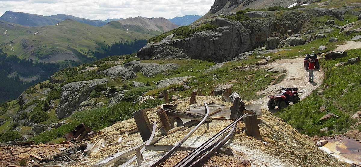
Although short, this trail is fun to drive and very scenic with lakes and waterfalls at the end. There is very little room for unlicensed vehicles to park transport vehicles at the start of F.S. 822 along Highway 550. Many people go in the entrance to Black Bear, Trail #5, and cut over on the unmarked road shown on map. Jurisdiction of this road is unclear, since it crosses private property. Although this side road is wide and well traveled, it could close without notice.

Rating

Moderate
Trail Ratings Defined

Mostly easy except for one section of high, narrow shelf road that may intimidate novice drivers. Hike if you don’t feel comfortable.

Stats

Length

2.5mi

Time

1-2hrs

High Point

12,500ft

Best Time To Go

July-Sept

Current Conditions

(970) 387-5530San Juan Mountains Center in Silverton

Check the Weather

free GPS downloads

Trail Updates

07/19/2018
Submitted by David
Trail no longer goes the full distance. Mine reclamation at mine before point 03. Still with the trip. Awesome views and it’s still a short hike to the lower lake. Great start point for other hikes as well.

Reviews

Be the first to review this trail by clicking the button below

Rate this trail on a scale of 1 to 5.


by Webolutions Digitial Marketing Agency


Cancel Agree