Generic selectors
Exact matches only
Search in title
Search in content
Post Type Selectors
Generic selectors
Exact matches only
Search in title
Search in content
Post Type Selectors

Poison Spring Canyon

No Reviews
Location Moab, UT
Rating Moderate,
Length 41.5mi
Time 5hrs

Vehicle Types

Overview

Go with a friend on this very remote offroad excursion.

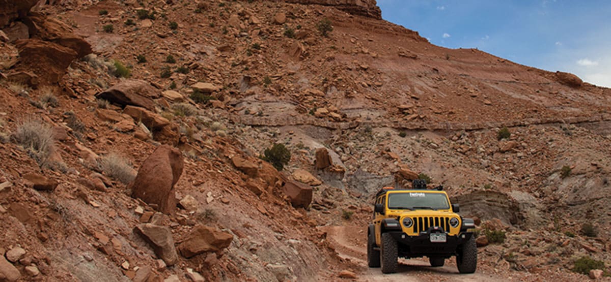
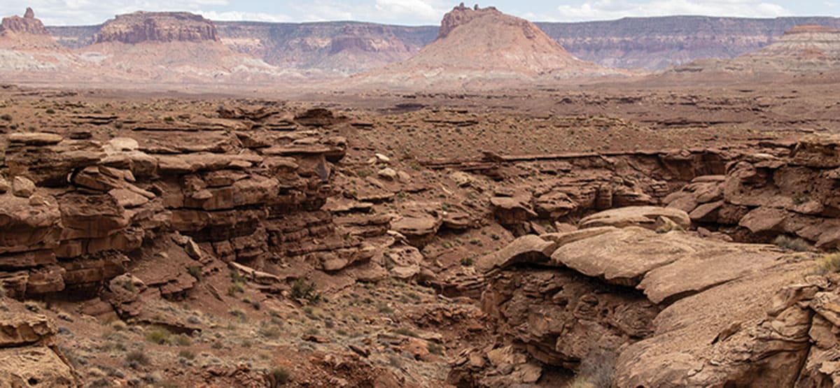
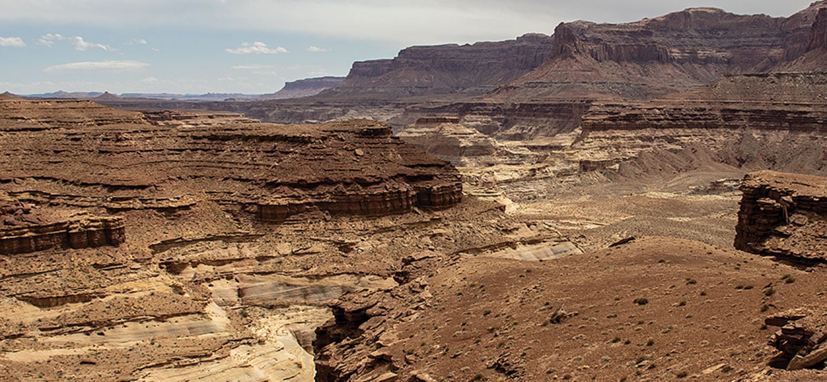
Road starts easy but gradually gets rougher as it descends to Dirty Devil River. You’ll wind back and forth along high canyon walls for many miles, then drop to valley floor where road follows wash bottoms. Great views of Gunsight Butte as you climb toward Sunset Pass. This trail is part of the Poison Springs Trail System. OHV vehicles are allowed to continue south on Road to Hite, trail #82, as of March 2021. Check river flow rates before you go; search online for “Dirty Devil River flow.” Flow rates can change quickly.

Rating

Moderate
Trail Ratings Defined

When dry, the road is mostly easy. Some areas are prone to washouts, and the river crossing will be impassable after a heavy rain. Cross river at your own risk. Don’t go alone. Gas up in Hanksville. Carry extra gas.

Stats

Length

41.5mi

Time

5hrs

High Point

5,952ft

Best Time To Go

March-June, Sept-November

Current Conditions

435-259-2652, 435-542-3462Try Hans Flat Ranger Station ,Hanksville BLM

Check the Weather

Free GPS download

Trail Updates

04/07/2022
Submitted by FunTreks
Hite station gas is unavailable until further notice.
https://www.nps.gov/glca/learn/news/20220325.htm

Reviews

Be the first to review this trail by clicking the button below

Rate this trail on a scale of 1 to 5.


by Webolutions Digitial Marketing Agency


Cancel Agree