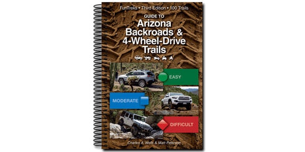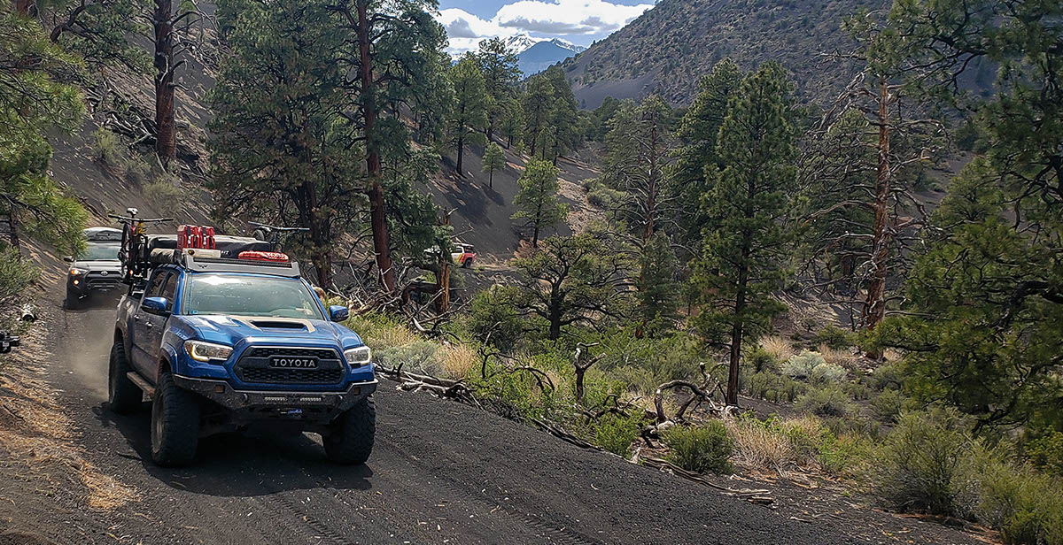
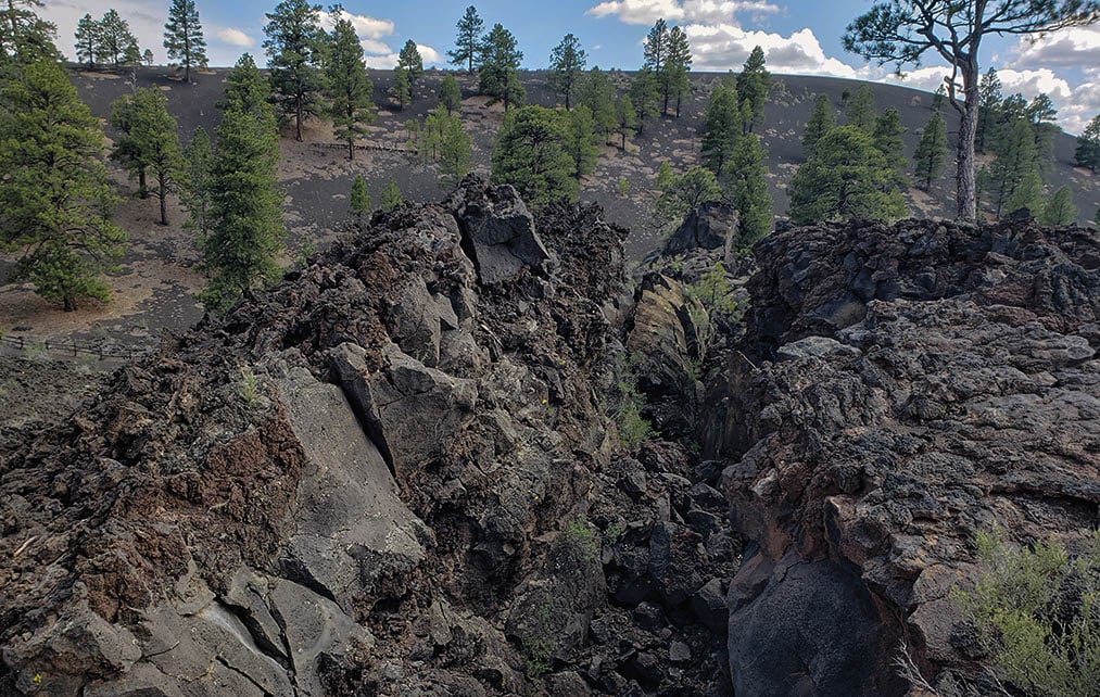
Fun loop around Sunset Crater Volcano N.M. and O’Leary Peak. Trail is scenic with good camping spots along the route. It climbs in elevation the entire trip. After the trail, stop by the monument, or you can explore other roads shown on east side of map. Drive to parking lot and hike to Strawberry Crater. Non-street-legal vehicles can’t do entire loop because they are not allowed on F.S. 545 and 546 (between Wpts. 04 and 05).
(928) 526-0866Coconino N. F., Flagstaff R.D.
Check the Weather07/27/2025
Submitted by Carrie
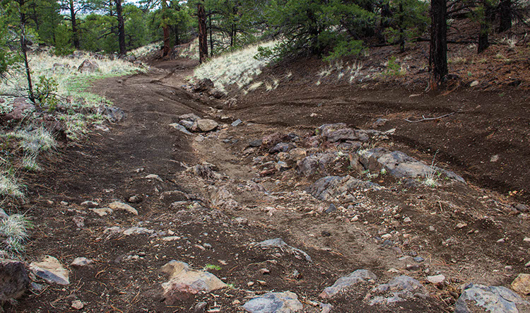
The road is now passable. There’s a bypass everywhere a tree is on the original trail. There’s several little bypasses to get around some of the rocky areas. There’s several little areas between waypoints 4 and 5 that have bigger rocks and ruts. We were at 20 degrees on the steep switchbacks area. You definitely need to know where to put your tires. It’s narrow and there’s a solid continual deep rut on the left as you’re descending. If you know what you’re doing, you’ll be fine.
11/27/2022
Submitted by Marcus
Between Waypoints 3 & 4 there are lots of trees blocking the trail.
10/08/2022
Submitted by Thomas
This trail should now be considered intermediate. The heavy rain and fire this year have caused a lot of erosion. Erosion has created deep ruts, especially on the narrow shelf climb between waypoints 02 and 03. This section is borderline advanced due to the combination of deep ruts and slippery gravel. I reached ~25% tilt while climbing that hill because the slippery gravel caused me to go into a rut. I needed to air down, do some shoveling, and engage lockers to get out of that situation. Good fun, just not what would be considered easy. An experienced driver can handle it with a minimally-modified rig and good tire placement or you will end up in the deep rut like I did. In other areas, erosion has exposed rocks and passage requires some rock crawling beyond the “hardest part of the trail” depicted in the book. Again, good fun but more on the intermediate side of difficulty. I took some pictures and videos of the trail as of 10/08/2022. Email me if you want them! Thanks for writing a great book.
05/10/2022
Submitted by Nena
Tunnel Fire has closed this trail and the surrounding areas.
See Map https://www.fs.usda.gov/Internet/FSE_DOCUMENTS/fseprd1014060.pdf
06/07/2020
Submitted by Bob
At 0.1 miles on FS9124C the trail has eroded. A side incline and large rocks. My Ford Raptor couldn’t handle it. Jeeps and side-by-sides will be fine.