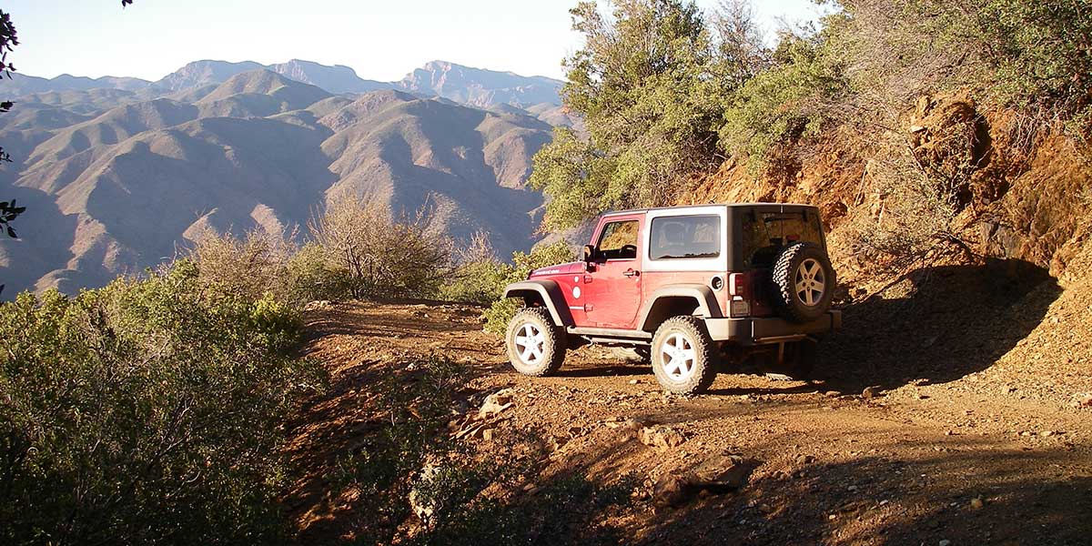
High scenic views as you climb 7,128-ft. Mount Ord to a Forest Service lookout tower. A locked gate requires that you hike the last 0.6 miles to the tower. Views are impressive at ground level at the base of the tower. Look for a great camp spot along first part of F.S. 626. Coming down, you’ll pass through Ord Mine as the trail winds along the mountainside. Route is open to unlicensed vehicles.
(480) 610-3300Tonto N.F., Mesa Ranger District
Check the Weather05/31/2024
Submitted by Tom
After the Bush fire and subsequent erosion, TRAL officially declared the “moderate” Fr 27 Unpassable. It is extremally dangerous. Do not go there!
The worst damage is on private land and the owner does not want to fix it, so this will stay likely forever.
On the other hand, the main access road 626 is well maintained and very easy, to accommodate the service of the installations on the top.
08/28/2021
Submitted by Russ
We did this trail backward starting with the “intermediate” section first. Our group had 10 Jeeps of highly experienced drivers. The trail is extremely washed out due to recent monsoons! It was literally a game of inches conquering a washout or plunging to your death hundreds of feet below. We had to turn back after nearly 3 miles of the trail due to impassible conditions. It took us almost 8 hours to drive 6 miles!!! DO NOT GO!
04/15/2021
Tonto National Forest has removed the temporary closure due to the fires for this trail. Road conditions may have changed, don’t go alone.
05/19/2020
Tonto National Forest temporary closure. Due to several fires, this area has restrictions. Read forest order here. For updates go to N.F. website for alerts and notices.
09/12/2016
Submitted by Trent Anson
The road out (that is rated moderate – which it is) on the Mt. Ord trail is severely washed out and narrow now. It got pretty sketchy at times. If you’re afraid of heights this isn’t the trail for you.
Took This trip on April 1, 2018. This was a very fun trail, our group of friends and family, &...See More