Generic selectors
Exact matches only
Search in title
Search in content
Post Type Selectors
Generic selectors
Exact matches only
Search in title
Search in content
Post Type Selectors

Mingus Mountain

2 Reviews
Location Cottonwood, AZ
Rating Moderate,
Length 19mi
Time 3hrs

Vehicle Types

Overview

Fun mountain loop starts in Cottonwood and goes to Jerome.

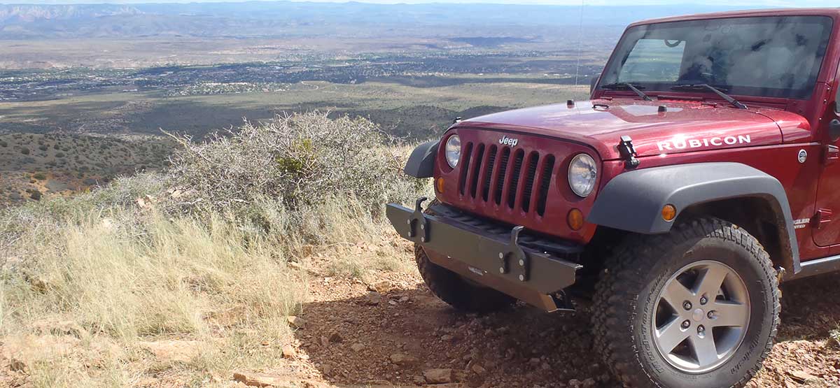
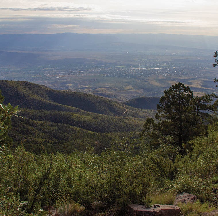
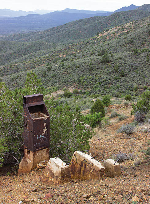
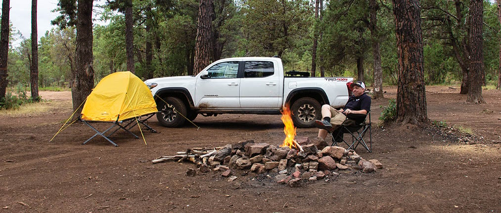
After passing through unimpressive lowlands, the road climbs quickly up the side of Mingus Mountain into the forest, where you find good dispersed camping. The trip offers views of Verde Valley and Cottonwood as you climb. You’ll pass the large Copper Chief Mine, which is closed to the public. Please obey all signs and warnings. F.S. 104 is restricted to street-legal vehicles. Fall color peaks in early November. Not recommended in winter.

Rating

Moderate
Trail Ratings Defined

Much of the road is easy, but there are several spots that are steep, narrow and rocky. Narrow shelf road with no room to pass after Wpt. 02. Suitable for most stock high-clearance SUVs with 4-wheel drive.

Stats

Length

19mi

Time

3hrs

High Point

7,507ft

Best Time To Go

Summer/Fall

Current Conditions

Free GPS download

Trail Updates

5/14/2023
Submitted by NewZona Rides
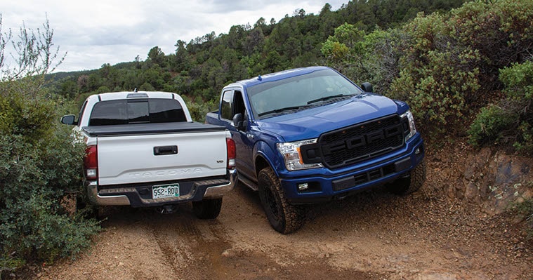
There is a section that is for sure upper-end Moderate. Close to difficult if you are going up. Slightly less difficult going down I would say. The trail is barely wide enough for a Jeep Wrangler or Midsize Truck. You will likely get some AZ pinstripes. Most stock 4X4s can make it with careful tire placement. This trail was a lot of fun and I would do it again for sure.

8/27/2019
Submitted by FunTreks
The trail is open all the way. It is still rocky and narrow shelf road. We are continuing to call it Moderate, but one of the more challenging Moderates.

7/20/2019
Submitted by FunTreks
A temporary closure is in effect until July 30, 2019. See link for map and Forest Order.
Forest Order and Map.

5/21/2019
Submitted by Patrick Davis
I took this trail from Mingus Mountain heading over to Cottonwood mid-May 2019. Before reaching the Cooper Chief Mine at the split of 413 & 493 about 10-11 miles into the 19. Road Closed. Shown as 6.4 miles (2.) in AZ Backroads book that takes you the opposite direction I was traveling. After researching the area appears closed till January 2020. You would be turned back from Cottonwood rather quickly but If you go the direction I was traveling (potato patch start) there are no signs saying that the road closes in 10 miles. Bulldozer in the road following closed signs. The closure is a result of over shooting in certain areas and environmental impact from camping. Area closed to the public is being restored I guess.

Reviews

Rate this trail on a scale of 1 to 5.


×

Deborah says

Bought our new Jeep Wrangler yesterday in Prescott where we live and gave this Trail a try - we are novices and found it challenging. We started at The the top of the hill near the Mingus Mtn recreation area and camp grounds and drove to Cottonwood in about 3.5 hours. When we started down the back of the mountain, the road became very rocky and loose in spots and I jumped out of the Jeep several times to guide my husband over the rocks so he could properly straddle them etc - a little tippy in spots and as I hate heights, I closed my eyes when we were on ledges with drop offs. At one point we saw a gate swung open with closed signs attached - but as it was open, we continued. We soon came to a spot that seemed almost impassable (remember we are novices) from a recent landslide that apparently had been graded, but still had lots of sharp, loose rocks. Soon after - about 6 miles from the end we encountered road workers in a pick up truck. It had started to rain hard and they advised us there were bulldozers ahead and that the road was already very muddy and slick. After waiting with them for about ten minutes they offered to lead us down (heroes to me) and we proceeded to slowly follow them, sliding a little in the deep mud. We came to the bulldozers who continued on to where they could pull off so we could pass. We finally made it. There were some beautiful views on this trail and we’ll probably come back to do some dispersed camping at the top of the mountain. But I won’t drive the whole thing again - and our brand new Jeep has its first AZ pinstriping from the brush we couldn’t avoid. Our Jeep, not a Rubicon with articulating wheels, did beautifully - no scraping in the bottom and handled the deep mud well.
×

Tom says

We went there with two Jeeps. My friend had 2015 Cherokee. He made it OK. There is only one 100-200 yard segment above Waypoint 02 where he had real problems. Few more rocky spots scattered oaround the Blue segment. Otherwise Easy. However the trail is really narrow and overgrown. We just barely sneaked through the vegetation. Luckily we had not encountered anybody riding from the other side, somebody would had to back up for maybe 2 miles in places! If you have anything bigger than Jeep, you will have to plow through the vegetation for many miles, with major scratches! Overall nice trail with lots of views. Do not miss the very easy side trip to the top of Mingus Mountain.
by Webolutions Digitial Marketing Agency


Cancel Agree