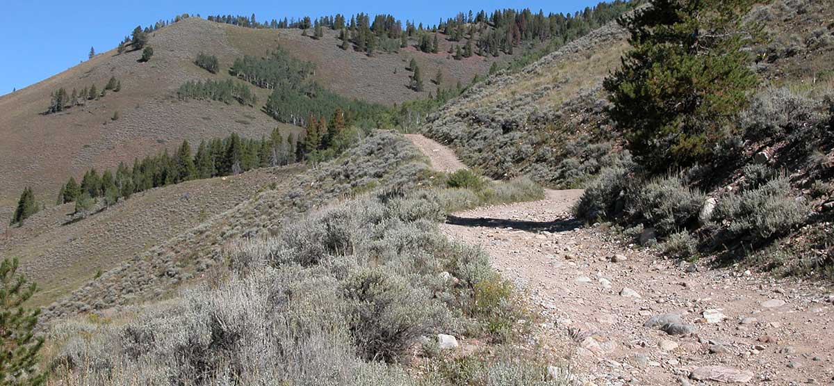
Trail begins at historic Camp Hale, climbs to top of Resolution Mountain, then descends to Shrine Pass Road. Panoramic views of mountains including Mt. Holy Cross. Fee camping at south end of Camp Hale and dispersed camping at many other places in the valley. MVUM not issued at time of this writing, but plans show licensed vehicles only. Check final MVUM.
(970) 827-5715White River N.F. Holy Cross R.D.
Check the WeatherNo updates yet.
Provide an Update8/15/2022
Submitted by Horton
Waypoint 5-6 along weary man creek is closed by locked gate.
8/17/2021
Submitted by Robert
The trail was closed at the trailhead to Shrine Pass
8/27/2019
Submitted by John
From Camp Hale; trail closed just past private cabin due to rock slides. Closed at the trailhead at Shrine Pass junction.
August 21, 2024 Entered from Shrine Pass Road. About 1/2 way to Camp Hale, extremely sharp and steep curves with...See More