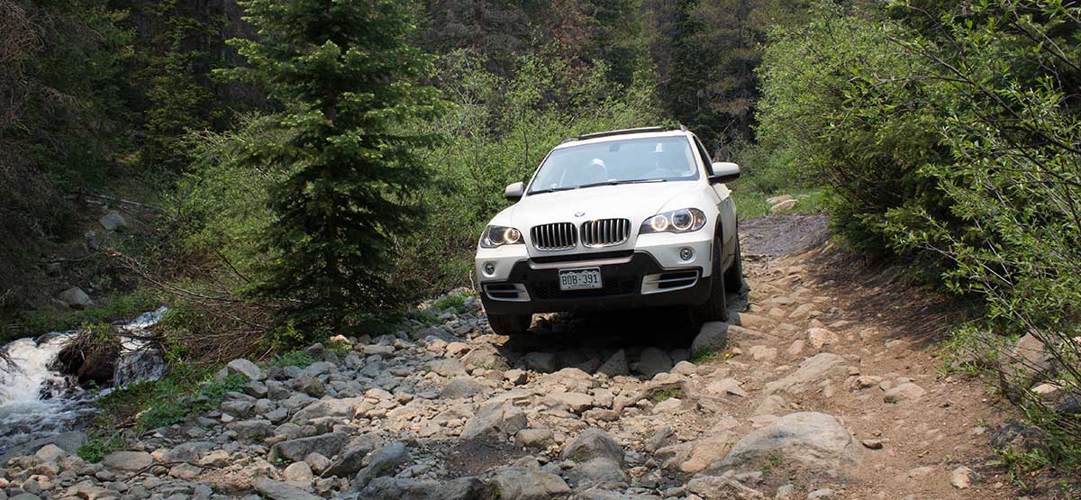
A popular camping and fishing area with several Forest Service campgrounds around O’Haver Lake. Poncha Creek Road offers a better backcountry experience with stream fishing and dispersed camping next to the water. Great fall color with lots of aspens. A parking lot near Shirley Townsite and Marshall Pass provides convenient staging for unlicensed vehicles, which are not allowed on county roads entering and leaving the area.
(719) 539-3591San Isabel N.F., Salida R.D.
Check the WeatherNo updates yet.
Provide an Update06/11/2025
Submitted by Jeff
June 11,2025 we took the Marshall pass via Poncha Creek. We started on the east side by the Shirley town site. About 1.4 miles in the road was closed down, with no way to bypass. We backtracked to the start and took the old railroad grade 2 Wheel Drive Road up and around.
07/24/2023
Submitted by WGBertles
Ran trail from Sargents. Easy and well-maintained. Nice backwoods drive. 2016 Jeep JKUR 2″ lift on 33″ tires.