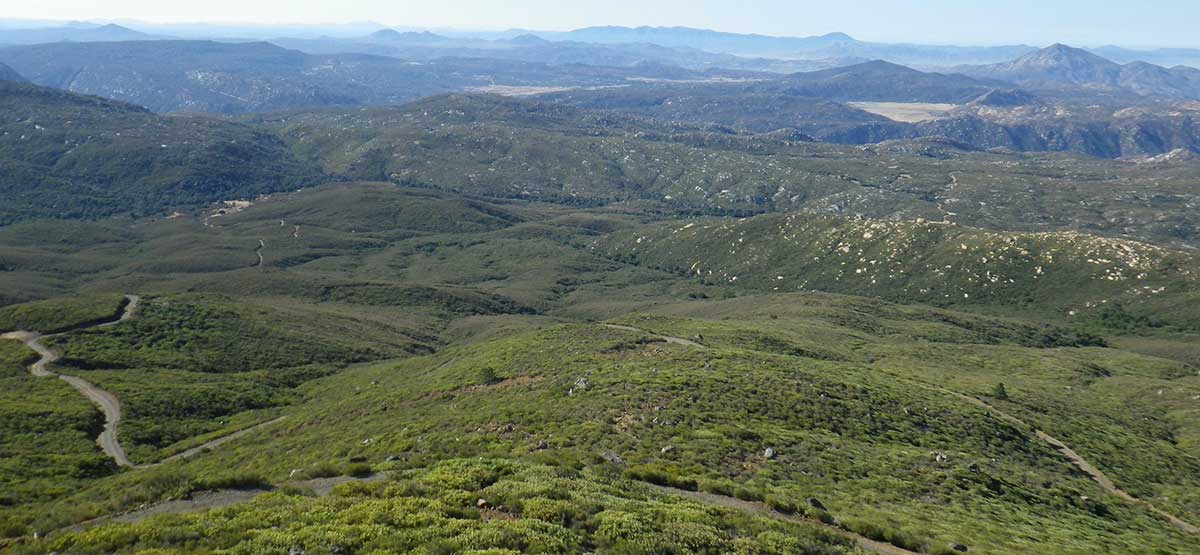
The first part of this loop to the fire lookout tower has been paved since our last visit in 2002. ATVs are not allowed on this portion. The remainder of the loop is all dirt as it circles south around the outside of Corral Canyon OHV Area, which is open all year to green-sticker vehicles. Great views along the route including from the top of Los Pinos Mountain. Fee and dispersed camping available.
(619) 445-6235.Cleveland N.F., Descanso R.D
Check the WeatherNo updates yet.
Provide an Update08/14/2018
Submitted by Rob
Mid Way from waypoint 3 to 4 which is listed as moderate in the book is now high moderate to difficult. The “hardest point” as listed and pictured in the book has now been fully washed out exposing large rocks and sharp boulder patches up to 2.5′ to 3′ high with sheer faces. Drivers will need to use extreme caution in this area as the recommendation listed as stock high clearance 4×4 vehicles should not attempt this section. We had a 4runner with 2.5″ lift and 33″ tires and it did not even attempt the decent and turned back. The Jeep Wrangler with 35″ tires built up some rock piles and attempted the decent and while successful, did take some dings and serious scrapes on his aftermarket beefy skid plate and rock sliders. This section is right past 2 green water tanks, which are new, so note that they may not be there when you descend and is in a shaded tree spot running parallel to the creek. It comes up fast on the driver as it’s slightly to the right and out of view when first starting the decent so I heavily suggest scouting it before dropping in.
Concur with the assessment of the hill between wp 3&4.. I turned around instead of attempting the ascent which appeared...See More