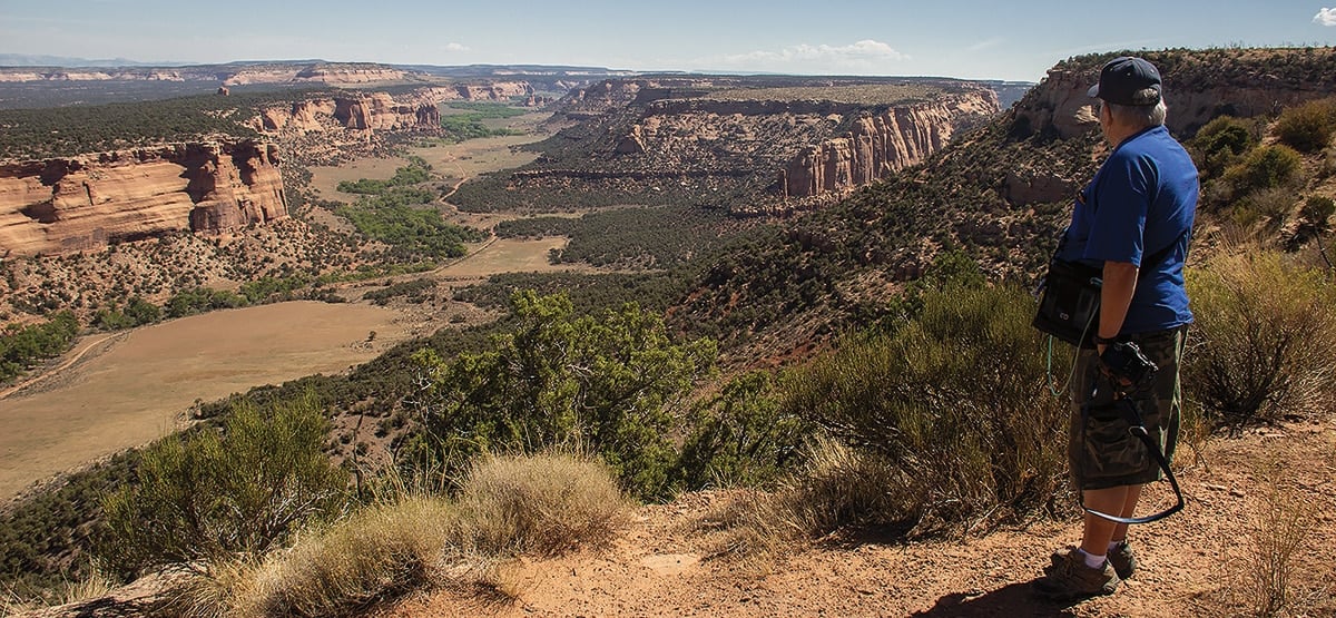
Remote in-and-out route with overlooks of Kings Canyon and Little Dolores Canyon. Add to that a trip through spectacular Colorado National Monument (fee area) and you are in for a full day of scenic views. Good dispersed camping along the
trail. Unlicensed vehicles can stage at the intersection just before the start. To explore more, continue east on DS Road to the Dolores Triangle in Utah.
(970) 244-3000BLM Grand Junction Office
Check the Weather07/5/2023
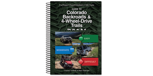
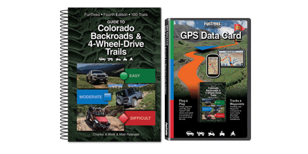
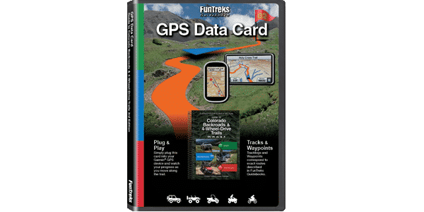
Submitted by FunTreks
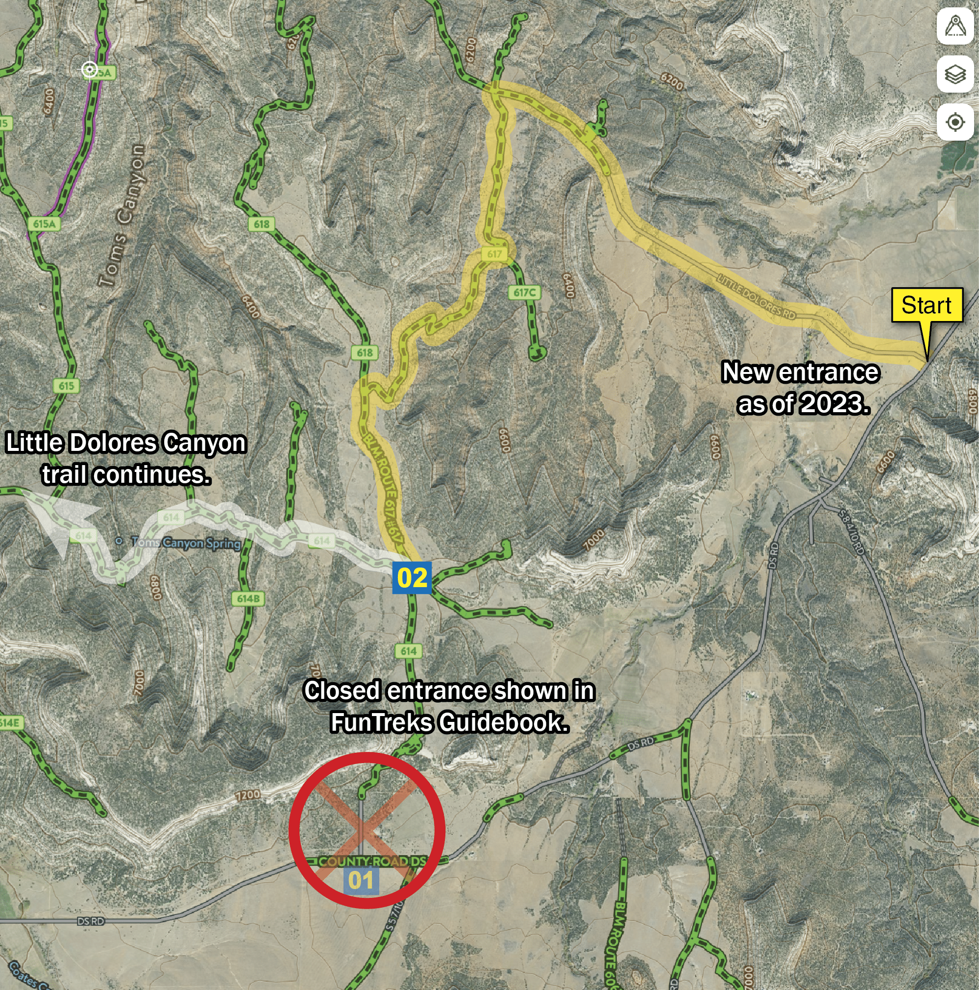
Major route change to the entrance. As of 2023, the guidebook entrance is closed (private land dispute). The new entrance to access trail #23 Little Dolores Canyon will use Little River Canyon Rd. See map below. We encourage you to use the free Colorado Maps found at COTrex
09/23/2022
Submitted by Tom
When I showed up the gate was closed and there was a No trespassing sign posted. it said no trespassing, hunting, fishing trapping, or any other activity if I am mistaken, please update the trail information. if I am not, we need to update the trail info. I had a free trial of ONX offroad which brought me right to the trail. I say this to point out I was at the right spot. (i am not recommending the APP, I just happened to have it)
03/08/2020
Submitted by Steve
I only drove 3.5 miles of the 26-mile round trip, turned around and headed back as I was on my own. The road was fairly (deep) muddy/wet in spots and had snow spread throughout. I’d have completed it if I had not been on my own and was with another vehicle. There were places I could’ve easily gotten stuck, and if I had, I had no winch or no one to help. I drive a stock 2003 Toyota 4Runner and used 4WD quite a bit. I think in about another month it should be prime time. NOTE: Was initially a challenge to find the road, as it had no signs/mini-signs of any sort identifying it as the road start. But fortunately, the directions in the published book were very good.
I drove only 3.5 miles of the 26RT this past Sunday 3/8/2020, but turned around and headed back as I...See More