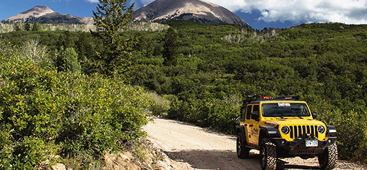
The east side is a beautiful, stressless drive to camping, fishing, hiking, and hunting. Great fall colors. No fire damage. Before the fire, the west side was steep and narrow with deep ruts and mud holes, but its condition was unknown at the time of this writing. Open to unlicensed OHVs. Special Fire Notice: After the Pack Creek Fire that started on June 9, 2021, we were able to drive to La Sal Pass on the east side. The west side was closed. Repairs are being made, and the Forest Service says it will reopen. Our description of the west side is before the fire.
435-259-2444Manti-La Sal N.F, Moab Ranger District, 62 East 100 North, Moab, UT
Check the Weather08/17/2025
Submitted by Anonymous
From the West it’s a blue trail (no longer RED). It’s rough, the bottom of some slopes are subject to washouts be careful as the trail gets pretty skinny in those spots and there’s nothing but drop off – they’re all passible. A ranger told me they are working to stabilize those areas. After the Pass it’s like driving a slick paved road…so easy. We enjoyed the challenge.
5/19/2021.
Submitted by Douglas
Near top on west side, large patch of 18-24 inch snow bank. Probably another 2-3 weeks before open.
9/29/2020.
Submitted by Dana
The trail is far from moderate. Spent 3 hours at 1-2 MPH crawling over constant rocks, and boulders. Near the top, drove through 2 rock slides; no road existed. There are a couple of places to stop to take in the mountain scenery; however, mostly all you see is trees. I’d rate this trail as difficult. There are far nicer trails around Moab.
09/23/2020
Submitted by Mac
Started from Two Mile Rd and worked my way back to Moab. The road was in good shape for the first few miles, but as we climbed past Medicine Lake the conditions worsened. My caravan consisted of a stock JKU Rubicon, a Jeep YJ, and a stock Toyota Sequoia. We were slow but able to complete. The main road has little to no signage beyond Medicine Lake so bring maps or GPS because getting lost will be easy without it.
From the West it's a blue trail (no longer RED). It's rough, the bottom of some slopes are subject to...See More