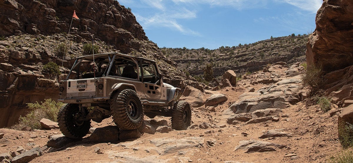
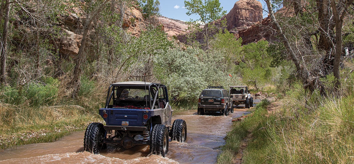
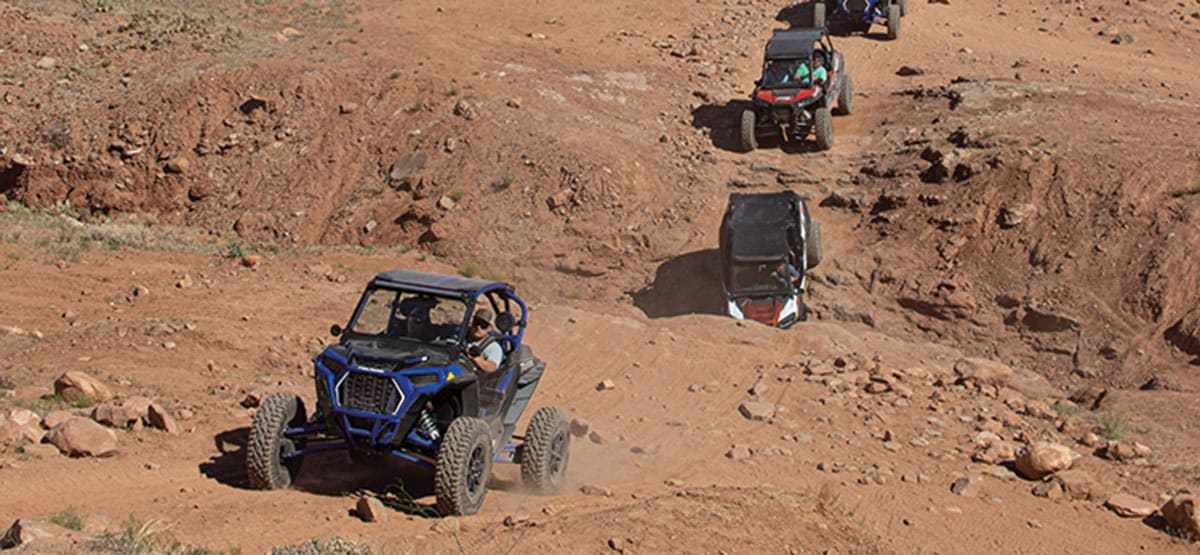
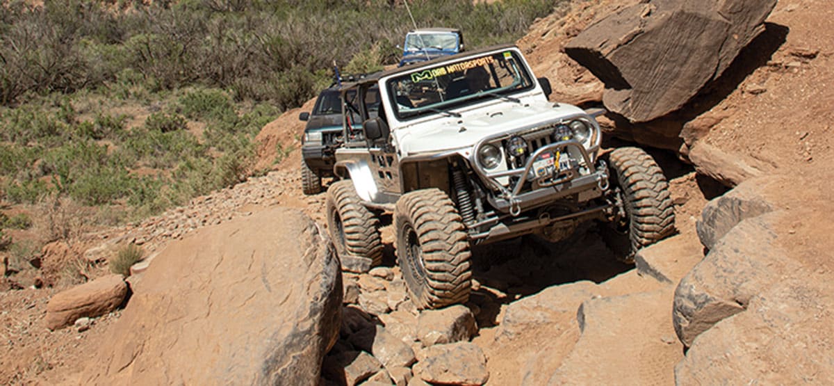
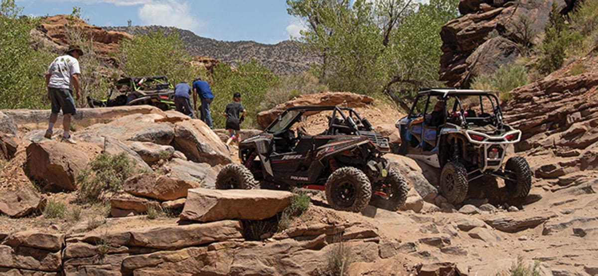
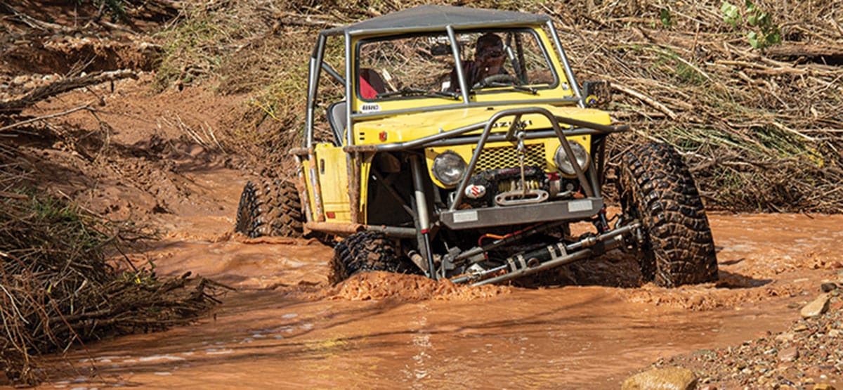
Trail winds back and forth across Kane Creek for its entire length. Erosion eats away at the trail but, so far, repairs have kept it open. The canyon is wide at first, but soon narrows and the road drops into the creek. Once in the creek, you can get confused at times. This part of the canyon is constantly changing. Heavy rains will drastically change this trail. Members of local 4×4 clubs, like Moab Friends for Wheelin’ will mark the trail with colored plastic ribbons occasionally. There are no “open” driving areas on this trail. New areas of abuse have started showing up more recently, and locals make huge efforts to keep everyone on the trail. Look in the trees for ribbons and try to stay on the designated route as best you can.
Hot in summer. Take bug repellent in the hot summer months.
435-259-2100BLM Moab Field Office, 82 E. Dogwood
Check the WeatherNo update yet
Provide an Update02/01/2023
Submitted by FunTreks
What we know as of early last Fall. The trail has been affected in a few places by the flash floods that went through in 2022, but it was drivable. In a couple of places, the route has changed slightly. Near the very end, significant erosion as you start climbing up from the creek and the wetlands preservation area on the driver’s side and the gas pipeline.
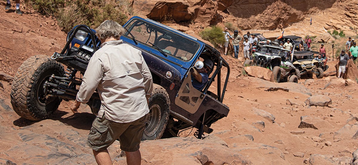
We completed this trail in September 2020, and the difficulty has increased substantially since the last time we done it...See More