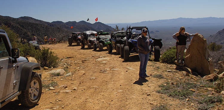
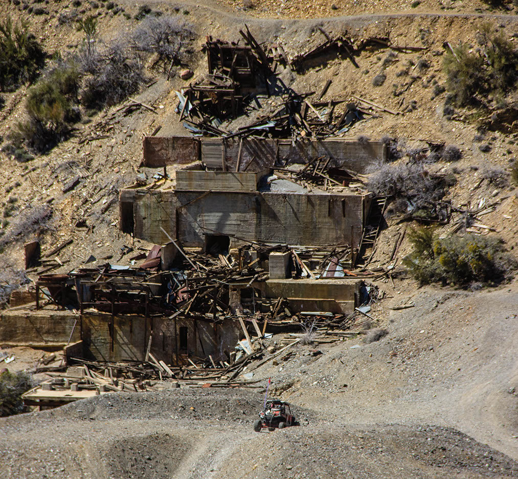
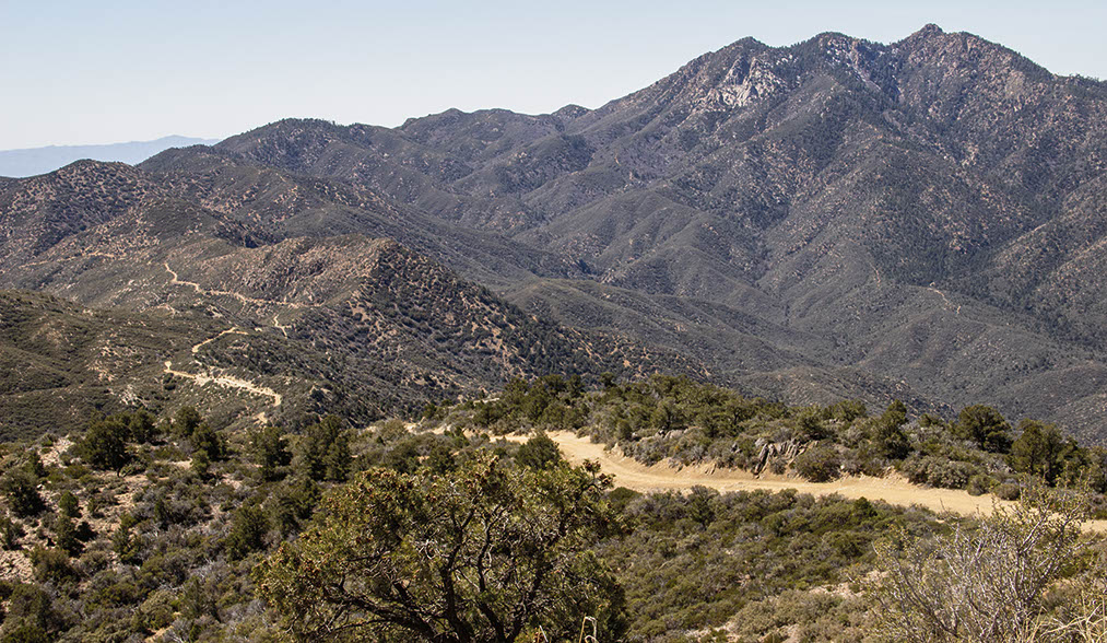
A long, scenic, challenging drive that climbs from desert to high mountain forest. Escape summer’s heat above 7,000 ft. Many great OHV side roads to explore. Visit extensive ruins at Boriana Mine. Large staging area at start. This route is a popular segment of the Arizona Peace Trail. If driving trail in opposite direction, a full hookup campground and nearby staging area are available near Hualapai Mountain Park Visitor Center (fees required).
(928) 718-3700Bureau of Land Management, Kingman Field Office
Check the Weather04/21/2021
Submitted by Lisa
We ran this trail 4/11/21. It was completely graded, so it is no longer difficult. I would say it’s a easy to moderate (narrow shelf) trail now. It will likely get worse over time, but as of now it’s a smooth beautiful drive.
04/04/2021
Submitted by Beth
the road looked like it had been recently graded returning it to an easy ride. We were able to complete the whole trail (in reverse) with stops in 3 hours with the upgraded condition. Saw a fellow rider who was able to complete it in a Jeep Compass SUV. So glad that the road was repaired as it’s such a beautiful ride. Note that the area is prone to landslides so conditions can easily change, however it looked like some barriers had been installed to help keep the road in its current condition.
03/30/2019
Submitted by Chuck Wells
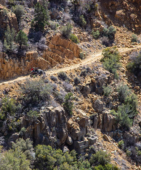
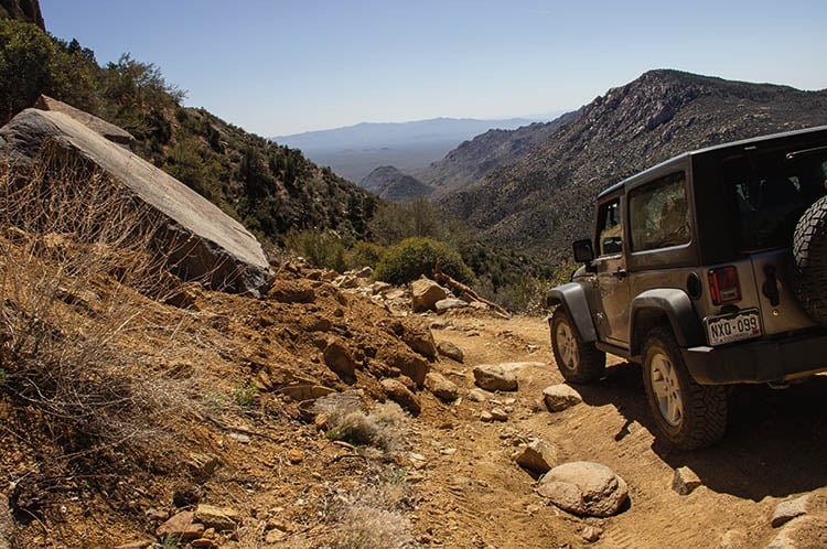
Most of this trail is still easy, but some of it is now moderate and the section between Waypoints 03 and 04 was difficult when I drove it in my stock Jeep Wrangler Sport. The difficulty is due to rockslides that partly block the roadway with a couple of very tight spots. It won’t take much more erosion to make this trail impassable, however, it’s very likely that maintenance will be done if this happens, either by the BLM or a local 4-wheel-drive club. This is a very important road with many uses. This road is also now part of the Arizona Peace Trail, which gives it additional importance. There is a new parking area for trailers on the north end. Please drive slowly through the residential area along Flag Mine Road. Residents are already disturbed by the increase in traffic and dust because of its new AZPT designation. I got this information from a local resident out on his own UTV. There are many blind curves through this area, so please slow down.
12/6/2018
There are some steep, off-camber areas a lot of fallen rock from some of the cliffs. The trail is now considered Moderate rating due to terrain changes.
11/7/2017
Submitted by Gary J.
While the trail is easy for the most part, once you reach Wabuyama trail head headed towards Borianna mines the road becomes more difficult. There are several locations where rock slides have occurred and some sharp turns over rough areas. While it is or can still be rated easy caution should be taken while in this area, it may take more time than what is stated in book. Also, there are multiple trails (7101 A-U) that branch off of the main trail (7101) that can be explored, caution is advised as some of these trails are ATV and not very wide.
This trail is a long and bumpy ride but we thoroughly enjoyed it! We started at the Hualapai Mountain Resort...See More