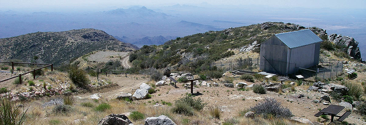
A BLM National Back Country Byway, which climbs to the top of 5,681 ft. Harquahala Peak, the highest mountain in southwestern Arizona. At the top are two small parking areas with picnic tables. A short hiking trail with information kiosks goes to an old 1920s observatory. Everything is open to properly registered and plated OHVs. A few nice camp spots with picnic tables. Stay on existing roads.
(623) 580-5500Bureau of Land Management, Hassayampa Field Office
Check the Weather05/25/2026
Submitted by Tom
My favorite trail, as it is near Phoenix and the weather is cool and breezy on the top!
Beautiful views!
I went there last on 05/25/2026
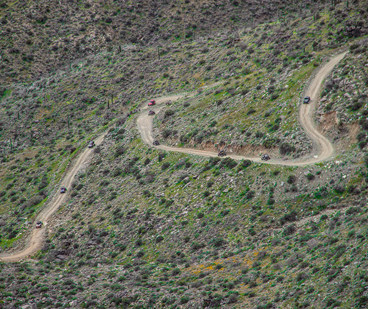
Since last year, they performed major grading and maintenance to the trail. The trail is now back to easy, at least until it erodes again! No ruts, bumps, rocks, chuckholes or slippery, crumbling surfaces. Just pretty smooth trail with many pullouts to pass. The only possible problems for somebody are steep climbs, up to 20% and steep drops on the side which could scare somebody. It takes now less than hour to get up from the staging area!
03/20/2019
Submitted by Chuck Wells
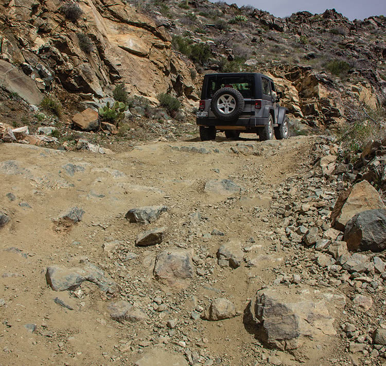
The steeper upper part of the trail has gotten more chewed up and rocky. Since a short section is paved up there, they could be doing more of that in the future. Until then, this part of the trail should be considered moderate.