Generic selectors
Exact matches only
Search in title
Search in content
Post Type Selectors
Generic selectors
Exact matches only
Search in title
Search in content
Post Type Selectors

Gunsight Pass

2 Reviews
Location Tucson, AZ
Rating Moderate,
Length 10.6mi
Time 4hrs

Vehicle Types

Overview

Trail follows sandy wash bottoms, then climbs over a pass.

CLOSED

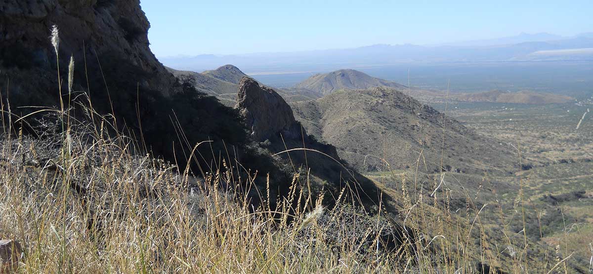
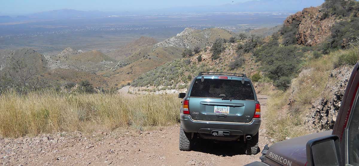
Trail follows sandy wash bottoms, then climbs over scenic 5,650- ft. Gunsight Pass across the Santa Rita Mountains. A fun network of OHV trails for licensed and unlicensed vehicles. A Motor Vehicle Use Map of legal roads is available from the Forest Service. The dark area on our map shows land owned by Rosemont Copper Company, which was test drilling during our visit. They were still allowing the public to drive through, but future access is unknown. Call number at right for latest status.

Rating

Moderate
Trail Ratings Defined

Trail is narrow, steep and rocky at higher elevations. One bad washout on the west side of the pass is near collapse, which could make the trail impassable if repairs are not made soon. Other risks include the possibility of encountering illegal aliens.

Stats

Length

10.6mi

Time

4hrs

High Point

5,650ft

Best Time To Go

Mar-June, Sept-Nov

Current Conditions

Free GPS download

Trail Updates

02/22/2015
Submitted by Tim Naylor
The trail is closed. This area is scheduled for a major copper mining operation and the trail has been shut down by the mine owners, Rosemont Copper.

Reviews

Rate this trail on a scale of 1 to 5.


×

John Conners says

Drove the trail on January 21st 2018. A very confusing trail to drive. We drove it east to west. All options to Gunsight Pass were closed with no way through. Lopez Pass was also closed. We ended up taking fs 231 through to the other side. Very disappointing.
×

Noel Mortier says

Closed just before ovens on east route (waypoint 5 side). Don’t know about west route
by Webolutions Digitial Marketing Agency


Cancel Agree