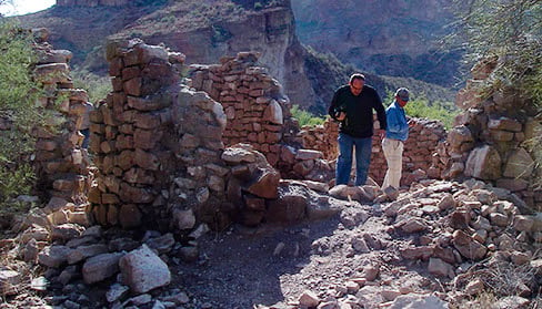
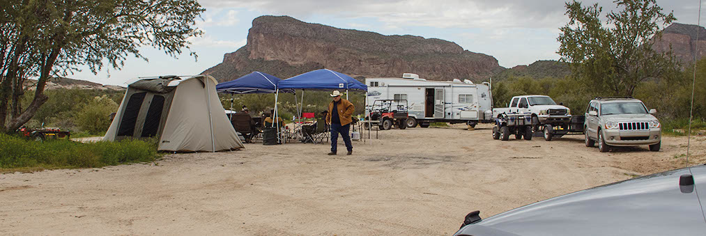
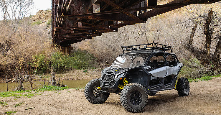

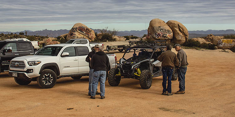
This is a fun loop that drops down to two sandy spots along the Gila River. When water is flowing, these spots provide beach-style camping. The trail follows mostly dry sandy washes, but an east-west section along the river climbs and descends along a challenging rocky road that circles around scenic South Butte. You’ll pass runs of a stone cabin and visit a functioning railroad trestle. We took our UTV on this trip and had a ball. Great boulder-encircled camp spot and staging area at the beginning. Carry a State Trust Land permit.
(520) 258-7200Bureau of Land Management, Gila District, Tucson Field Office
Check the Weather11/25/2022
Submitted by Craig
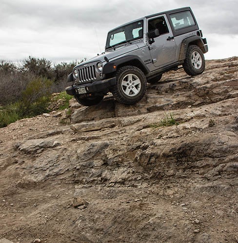
Took a 2020 Toyota 4Runner TRD Pro with a 2″ lift and 32″ tires. Had a lot of fun with this one. Definitely be ready for soft sand; we didn’t end up bothering to air down but probably would have helped some. The difficulty rating is spot on I’d say other than that both of the options at the steep ledges at 15.3 miles are pretty much difficult now, at least for larger vehicles. Like a previous update said though, simply take the bypass to the right of these and circle back down Donnely Wash (or alternatively just walk down from the top of the ledges to the river and train bridge). I think I could have made it down the “easier” of the ledge paths, but the bottom was going to be pretty nasty to drop down. Tons of black and white marks in both of these spots showing that lots of people have been banging things into the rocks here on their vehicles. When I’m out with a single vehicle I tend to take the “better safe than sorry” approach when I can bypass nastier things.
Also made a bad choice to head into one of the first paths to the left at 11.3 miles once turning around from the river the first time. Definitely wait for the third path at least unless you have a side-by-side. Wasn’t particularly difficult, but extremely tight brush (and definitely got some more pinstriping). In general, like the book says, expect some brush marks between waypoints 4 and 7; very hard to avoid this.
Gila River had a pretty good flow of water going in it for late November. Probably due to the wet summer and fall.
10/12/2021
Submitted by Peter
Started the loop from going North on Cochran road and then East at the beginning of the loop to the river, made it to the first cove then went East on the next leg to the second cove. The trail that continues East was washed out with deep ruts and could not continue. Had to go South through the Donnely Wash in order to get back to Cochran Road.
01/20/2020
Submitted by John
We did the whole loop. We had some full-size rigs with us as well as a stock 2019 4Runner. The steep section mentioned in the description now has a bypass making this a fairly easy/moderate trail. Very cool sights to see and the desert fauna is abundant. It’s fairly quiet, we ran into a couple of other groups but for the most part, had the place to ourselves. Totally recommend it.
12/9/2017
Submitted by Gil Bensinger
One of my favorite local trails. Between waypoint, #4 and #5, say mile ~12.5, there is a new “social” trail that leads away from S. Butte, heading slightly to the south. It is a bit deceiving at first. Took me a bit too long to realize my mistake (my own fault), and double back to the correct trail. No harm no foul, except some new pinstripes :). However, this social trail does lead into deep sand (which could be a problem for others). I did not follow it to its end as the brush narrows considerably.
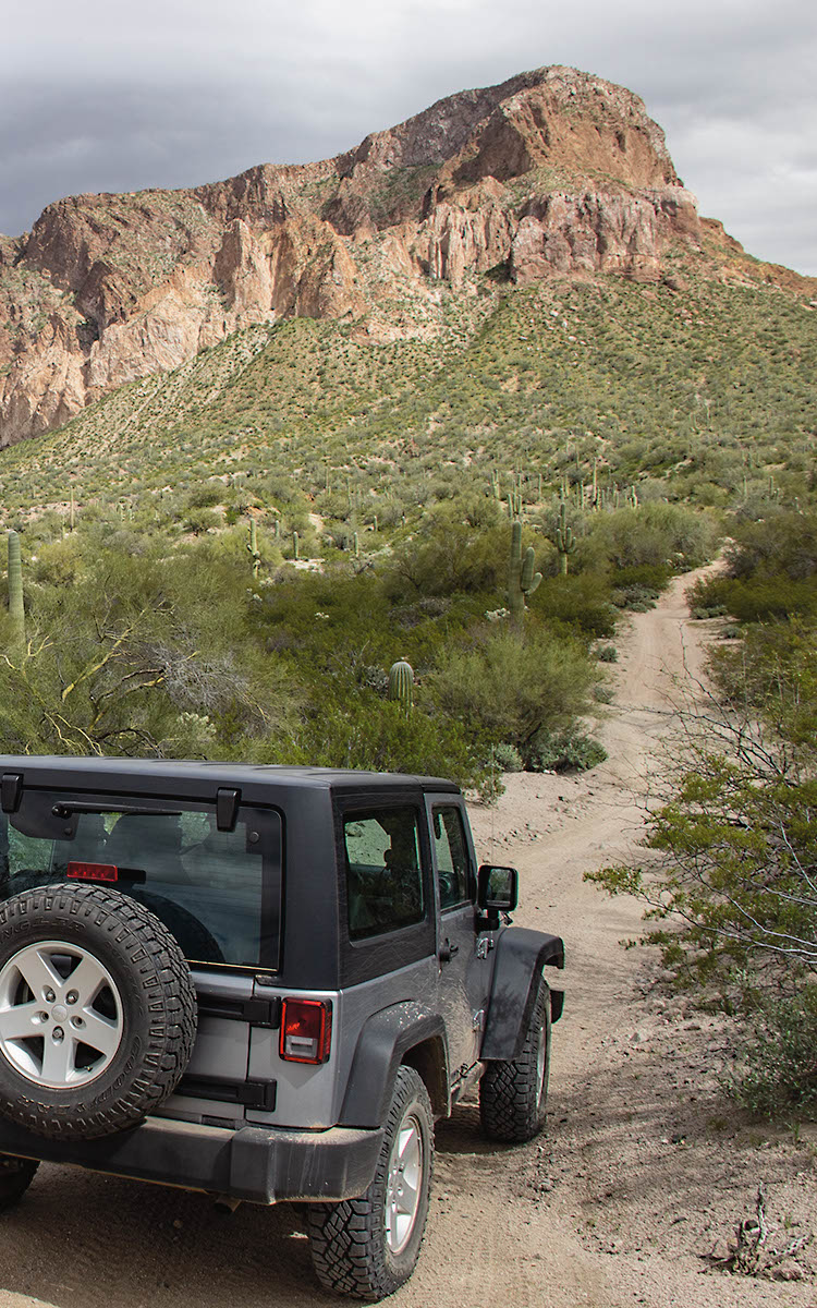
Super fun and very scenic. Plan to take the entire day to explore the area and take in the sights....See More