Generic selectors
Exact matches only
Search in title
Search in content
Post Type Selectors
Generic selectors
Exact matches only
Search in title
Search in content
Post Type Selectors

Fallen Peace Officer Trail

No Reviews
Location Moab, UT
Rating Difficult,
Length 14.2mi
Time 3hrs

Vehicle Types

Overview

Wander through remote, rugged backcountry.

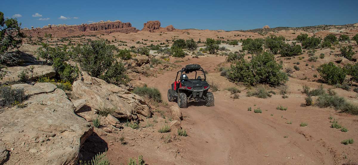
A rugged, remote loop climbs to a high ridge with views across the valley to Sevenmile Rim, Monitor and Merrimac Buttes, and Highways 191 and 313. Before Waypoint 05, you can see Tower Arch, trail #23, inside Arches National Park. This trail also shares part of its northernmost section with Copper Ridge, trail #25. Stay on the designated routes at all times. Do not, under any circumstances, cross the boundary into Arches National Park or make new routes. This trail is best suited for UTVs and ATVs.

Rating

Difficult
Trail Ratings Defined

No major obstacles, but narrow, rough, and rocky in parts. Several steep rocky climbs, some need careful tire placement. Easy to get lost on side trails; GPS recommended. Trail is not recommended for wide vehicles.

Stats

Length

14.2mi

Time

3hrs

High Point

4,961ft

Best Time To Go

March-November

Current Conditions

435-259-2100BLM Moab Field Office, 82 E. Dogwood

Check the Weather

No updates yet

Provide an Update

Free GPS download

Reviews

Be the first to review this trail by clicking the button below

Rate this trail on a scale of 1 to 5.


by Webolutions Digitial Marketing Agency


Cancel Agree