Excellent overland trip when tied with East side.
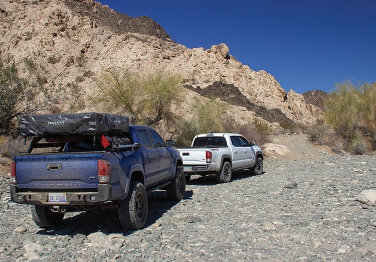
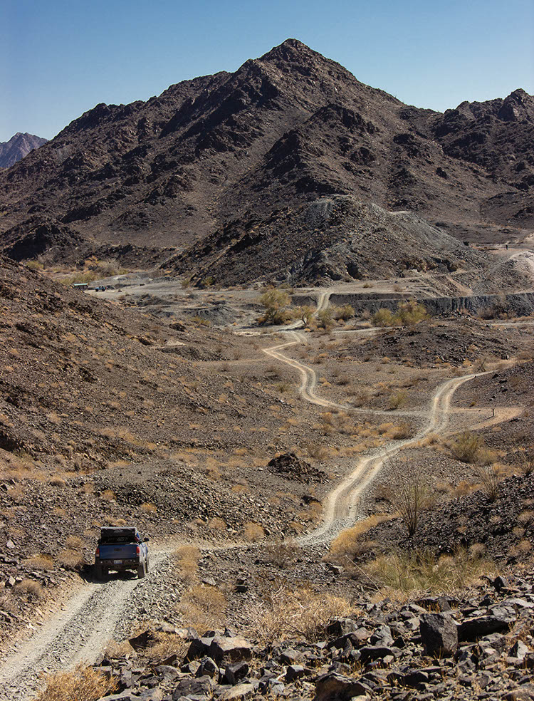
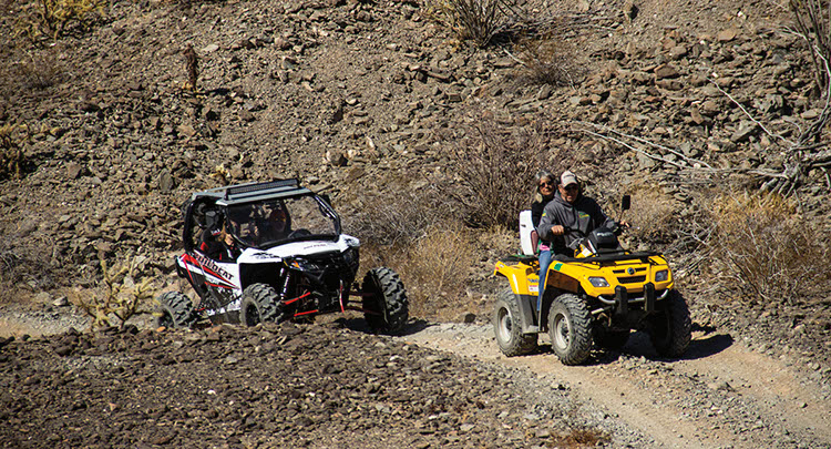
A rugged desert drive, but with no major obstacles along the route we took. This trail is a continuation of trail #98. It leaves from the High Tanks area and crosses over the Tinajas Altas Mountains, then heads north past Fortuna Mine (see trail #97, described separately). All of this trail is in the Barry M. Goldwater Range West, where there are many additional roads to explore. A great trail for ATVs, UTVs and dirt bikes, but all vehicles must be street legal. The free permit required for the east side covers the west side, too. When you get your permit, print it out and carry it with you. All intersections are marked with wooden posts. Not all posts are shown on our map.
Closed March 15-July 15
(623) 580-5500Regulations and Permit: Call BLM in Phoenix
Check the Weather3/2/2018
Submitted by Matt Peterson
The route has no changes. I went right at Post 7 and drove Spook Canyon. The canyon was low-end moderate rating with a stock Tacoma.