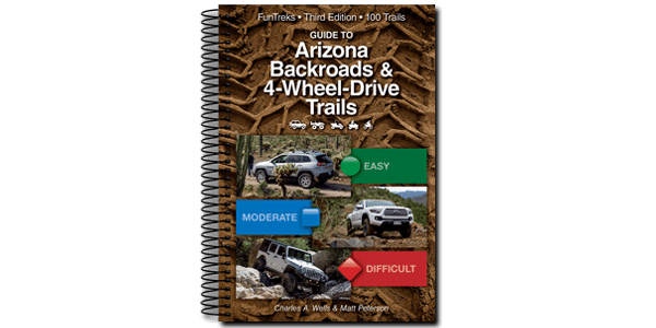
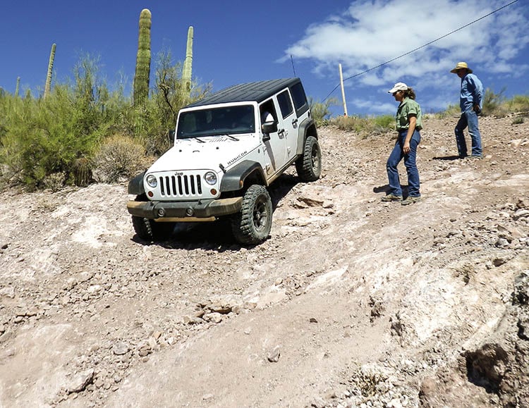
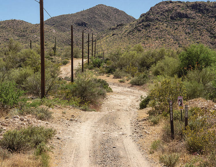

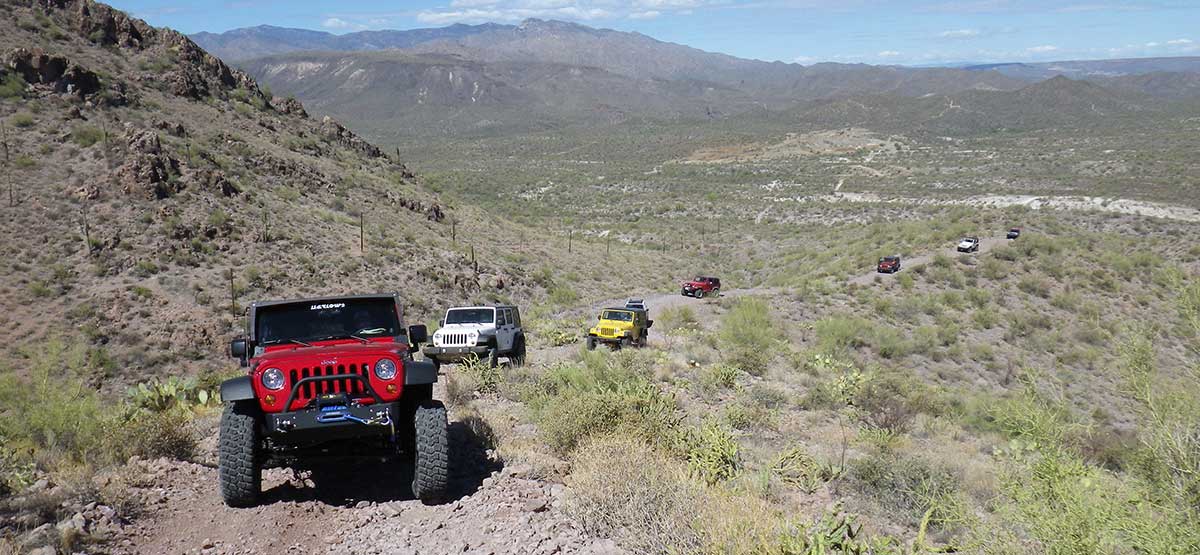
This fun loop takes you through the lesser-used southern half of the Table Mesa Area. You’ll enjoy a remote setting with high views and several challenges. Like other parts of Table Mesa, shooting is allowed in designated locations and is very popular along Table Mesa Road. Be aware when passing these locations. If you shoot, make sure to pack out your trash. We didn’t see any ATVs or UTVs in the area, but they are allowed. A BLM map of the area is posted at several kiosks. Call number at right for details.
(623) 580-5500Bureau of Land Management, Hassayampa Field Office
Check the WeatherNo updates yet.
Provide an Update06/09/2024
Submitted by Justin
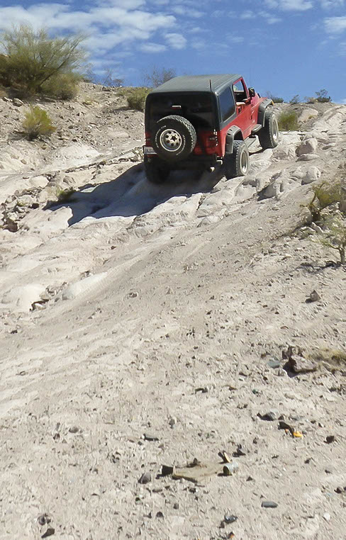
It was definitely sketchy in two spots. One was a fairly steep uphill that slanted to the left. As long as you stay to the right where the soil is more grippy, you will be fine. The soil to the left is loose shale rocks and there was a wrecked SUV at the bottom of the canyon that clearly didn’t make it. Then, as soon as you reach the top of that hill, the next downhill is VERY STEEP and loose. GO SLOW. There is a fairly serious drop-off ledge near the bottom before the gate. The back side of this trail was a very laid back and mellow trail. Pretty fun overall.
03/19/2023
Submitted by Michael
We just did this trail last weekend in moderately modified 4Runners, great trail, not to difficult, there were only a couple of hills with challenges which were no problem, no water crossings, we completed this trail in approximately 2.5 hours.
One of my favorite trails. The 1st part of the trail has gotten more eroded since I first drove it....See More
Coves can be accessed by either Rolls OHV West (#47) or Rolls OHV East (#48). Neither trails provide exact directions...See More
Fun Trail, rode it the technical way and had no issues with our group of Jeeps. It was loose and...See More