Generic selectors
Exact matches only
Search in title
Search in content
Post Type Selectors
Generic selectors
Exact matches only
Search in title
Search in content
Post Type Selectors

Chicken Corners

No Reviews
Location Moab, UT
Rating Moderate,
Length 9mi
Time 4hrs

Vehicle Types

Overview

Trail skirts 500-ft. cliff edge on way to great lunch spot.

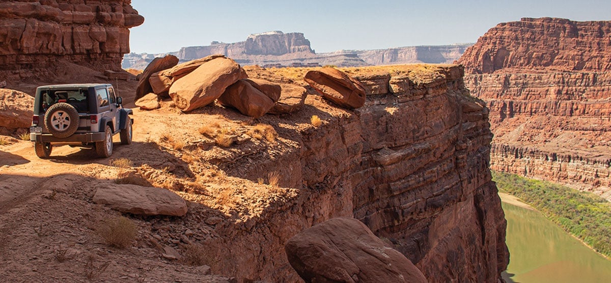
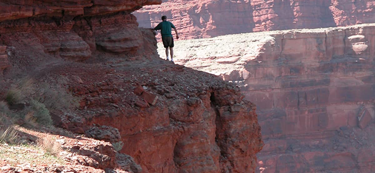
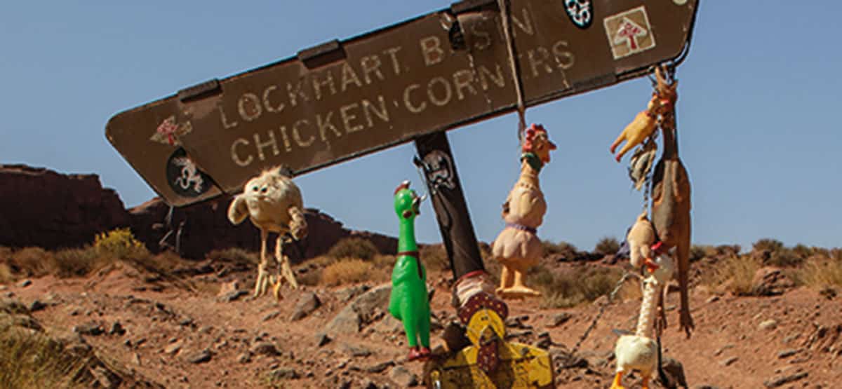
You’ll cross over beautiful Hurrah Pass, trail #41, to reach the start of this trail. The road weaves along the Colorado River with an optional stop at some quirky caves in Catacomb Rock. Chicken Corners will definitely test a passenger’s trust in the driver since, at this point, the river is about 10 ft. to the right and about 500 feet straight down. This is a very popular trail for riders of ATVs, UTVs, dirt bikes, and mountain bikes. A left turn at Waypoint 04 takes you to Lockhart Basin, trail #66.

Rating

Moderate
Trail Ratings Defined

Small ledges, soft sand, and a few steep climbs. Chicken Corner at Wpt. 05 is easy (but scary). Suitable for stock, high-clearance, 4x4 SUVs designed to go off road. Our stock Wrangler Sport had no problems.

Stats

Length

9mi

Time

4hrs

High Point

4,471ft

Best Time To Go

March-Nov

Current Conditions

435-259-2100BLM Moab Field Office, 82 E. Dogwood

Check the Weather

No update yet

Provide an Update

Free GPS download

Trail Updates

Reviews

Be the first to review this trail by clicking the button below

Rate this trail on a scale of 1 to 5.


by Webolutions Digitial Marketing Agency


Cancel Agree