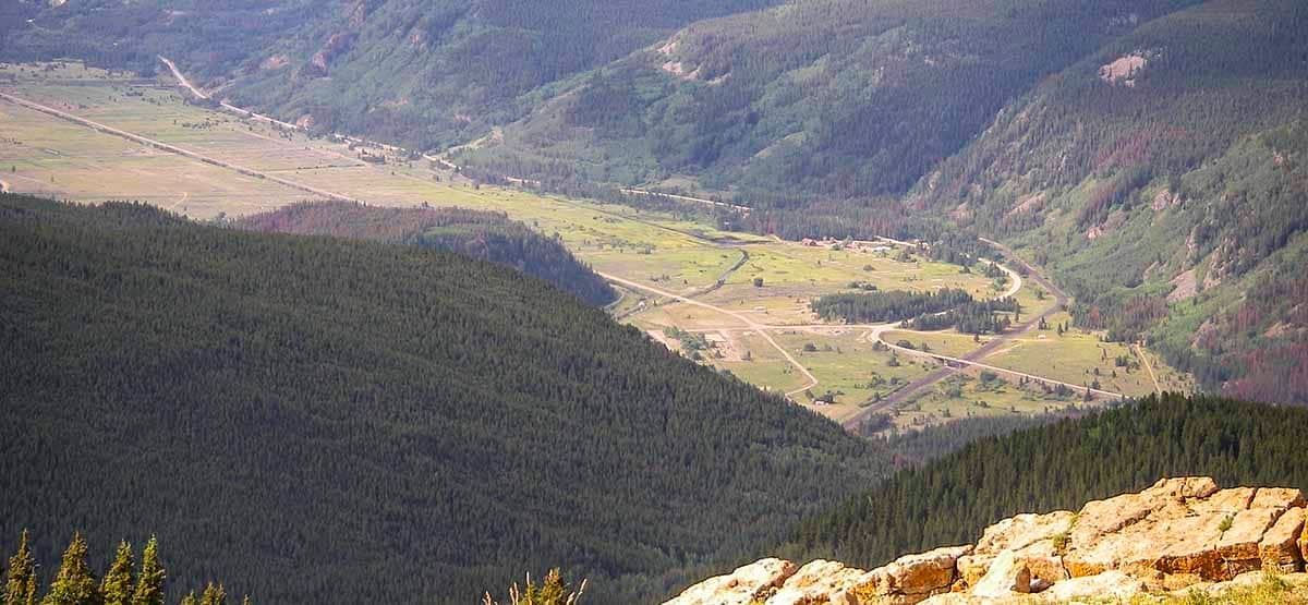
A wide variety of twisting roads perfect for ATVs. Most routes are between 9,000 and 11,000 feet; however, a few places, like Resolution Mountain, approach 12,000 ft. Distant views of Mt. Holy Cross and great seasonal wildflowers. A popular hiking and horseback riding area. Please stop and shut off your engine around horses.
2/14/2014
Submitted by FunTreks
This trail is titled this way for the ATV Guide Colorado Central Mountain only. This book combines several trails into loops convenient for unlicensed vehicles. In our 4×4 books, these trails are shown as McCallister Gulch and Shrine Pass Road. We no longer include Wearyman Creek and Resolution Road in our 4×4 books. Also, Lime Creek Road and the Benson Cabin Route have been closed for several years now.
The biggest change to the Camp Hale Area is that dispersed camping is no longer allowed there. Also, most of the camp spots along F.S. 708 after Waypoint 01 are gone. Some of the roads in Camp Hale are barricaded. There is a forest service fee campground on the far south end of Camp Hale.
For up-to-date information on this trail see our new 4th Edition Guide to Colorado Backroads & 4-Wheel-Drive Trails, set to be released for sale in April 2019.