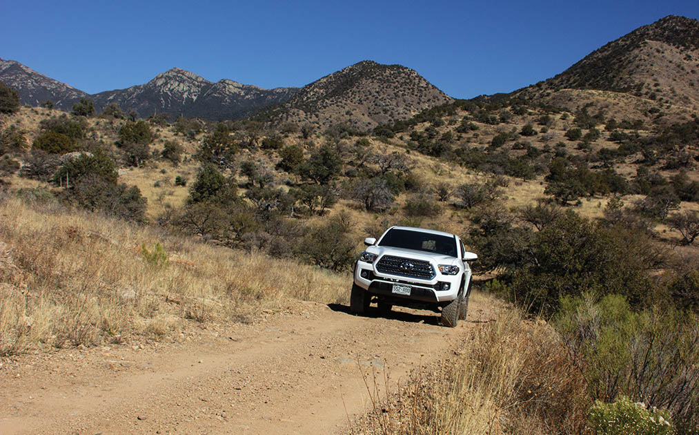
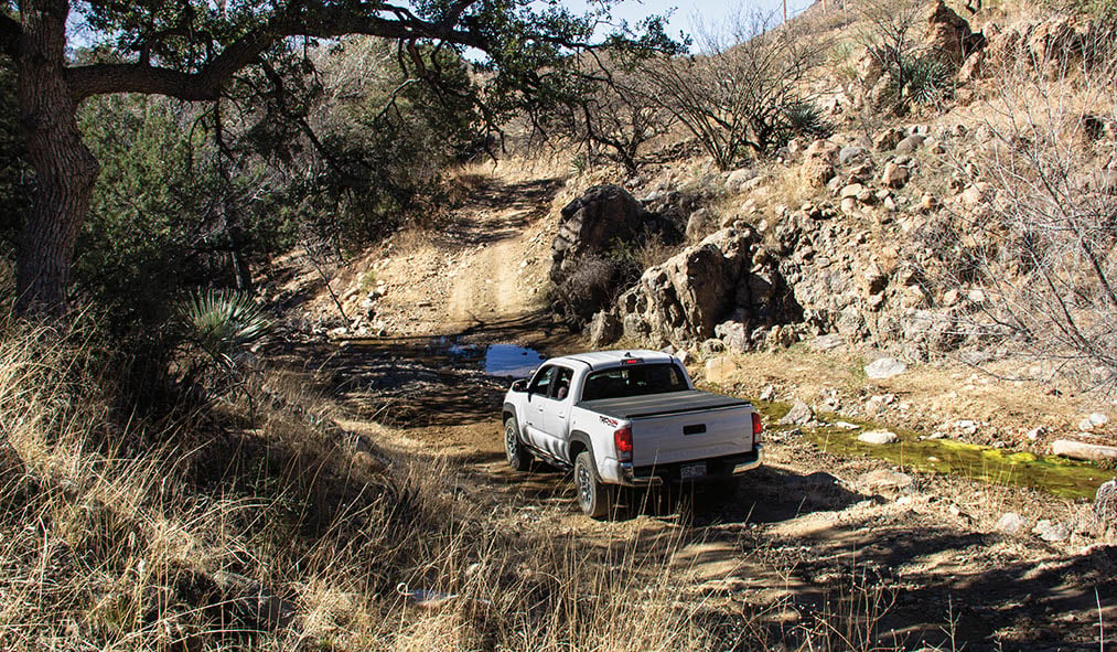
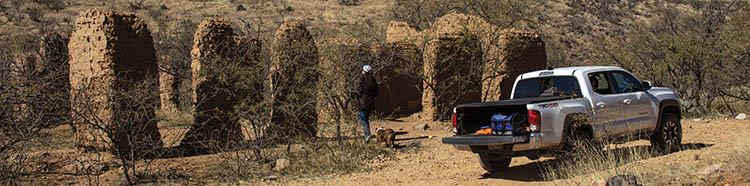
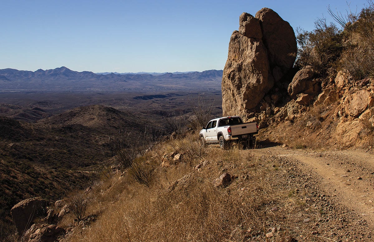
A good trail for novice drivers seeking 4×4 adventure. By our standards, it’s easy, but don’t take it too lightly. It’s very remote and rough in places. Much of the route crosses ranchland, but the middle portion passes through Coronado National Forest and climbs over the lower end of the Santa Rita Mountains to just above 5,000 feet. You’ll see a few mines, but most are just tailings. Interesting adobe ruins at Alto Camp. Lesser roads branch off, which makes it fun for ATVs and UTVs. MVUM is available.
(520) 281-2296Coronado N.F., Nogales R.D.
Check the Weather12/29/2025
Submitted by Michael Lamb
I’m not sure if this is an easy trail. I went up on 29 December 2025 in a 2024 GMC X31 3.0 Duramax. 4H may have worked but I used a lot of 4L. Recent rain has reduced most of the route to raw rocks. My parents who used to take their jeep over worse stuff in Idaho got nervous, but they are in their mid-seventies. Long story short fun drive but not a simple dirt route.
01/02/2018
Submitted by Bruce Kading
When running this trail you will find that the creek crossing at mile 22.6 is closed on both sides with locked gates. The trail can be completed by staying left on Blue Haven road which goes into Patagonia.
05/02/2017
Submitted by Darryn Fessel
No access from Highway 82.
Great, easy going trail with tons of views. Amazing to see Elephant Head so close, and the Santa Ritas from...See More