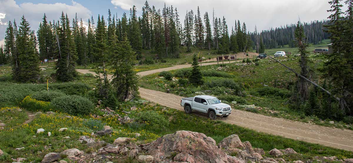
A relaxing summer getaway just outside Steamboat Springs. Dispersed camping is allowed along the entire route plus there are two Forest Service campgrounds on the main route. Popular area for hiking, mountain biking and fishing. Abundant seasonal wildflowers. Although unlicensed vehicles are allowed on all roads, a serious rider will find little challenge. A single track trail that heads south from the pass is shared by dirt bikes, hikers, mountain bikers and horseback riders. Lower elevation roads open in mid June and upper roads July 1. No motorized vehicles after Dec. 1, except snowmobiles.
(970) 870-2299Routt N.F., Hahns Peak Bears Ears R.D.
Check the WeatherNo updates yet.
Provide an Update08/23/24
Submitted by Dennis
We entered Buffalo Pass from Steamboat Springs. The road was smooth gravel until Dry Lake Campground (which was closed due to construction). Heading east from the campground, the road immediately became a “moderate” road with heavy erosion, ruts at least a foot deep at all angles, and exposed rocks. We only went a mile further and turned around since that wasn’t the outing we wanted that day.
07/26/21
Submitted by Mike
All gates open from Steamboat. Yes, a Green road, but significant ruts, large rocks, and a washboard. Fun stuff for blue, but not a cruiser… and I have a Jeep Cherokee Trailhawk.
Make sure to hike to several of the lakes at the top!
06/16/2021
Submitted by Bonnie
The upper gate (#3) was closed preventing access to the summit from Steamboat Springs. The road is rutted with holes and large rocks, washboard ridges causing slow going.
6/20/2019
Submitted by Mike
This was a great run and I’m so glad I took time to do it on the way from Las Vegas back to Oklahoma. I did it in a stock Tacoma TRD off-road. When traveling from Jacob Lake down to the Hwy 89A intersection, I never even put it in 4wd. The roads were obviously not off-traveled but had no major issues or encumbrances. The Jacob Lake area of the trail is amazing as are the views from the ridgeline part of the drive. I think it’d be more fun to travel from east to west as is in the guide because the steep hills would be fun to climb. I did not encounter another vehicle the entire trip and would love to have explored many of the side roads. I stopped on the ridge and had a quick lunch in the back of my truck parked under a small bit of shade. The views of the Vermillion Cliffs that line Hwy 89A were amazing. I highly recommend this relatively quick route and will enjoy doing it from east to west next time I’m in the area. It’s also a good way to scope out some great campsites on BLM land near Jacob Lake.