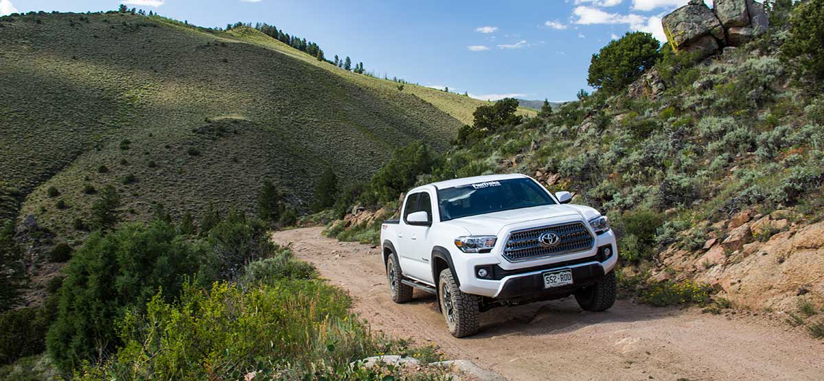
We’ve combined County Road 14 with Blacktail Creek Road to make a convenient loop out of Kremmling. About half of the route is in Routt National Forest, where unlicensed vehicles are allowed. The last part of the trail is very scenic as it looks down on a broad valley bisected by the Colorado River. Campgrounds in the area primarily support river rafting. No seasonal closures.
(970) 638- 4516Routt National Forest, Yampa R.D.
Check the WeatherNo updates yet.
Provide an Update6/18/2017
Submitted by Funtreks
On a re-drive of this trail, we couldn’t find F.S. 212 that we show heading south from Waypoint 04. Turns out the road we show on our map has been completely removed and revegetated–it’s totally gone. Another road just to the west is now marked 212. To find it, continue west on paved road 134 another 0.2 miles and turn left at a sign for F.S. 206. Drive south about 400 ft. and F.S. 212 forks to the left. This road meanders back-and-forth along a ridge and is a little longer than our original route, but takes you to the same place.