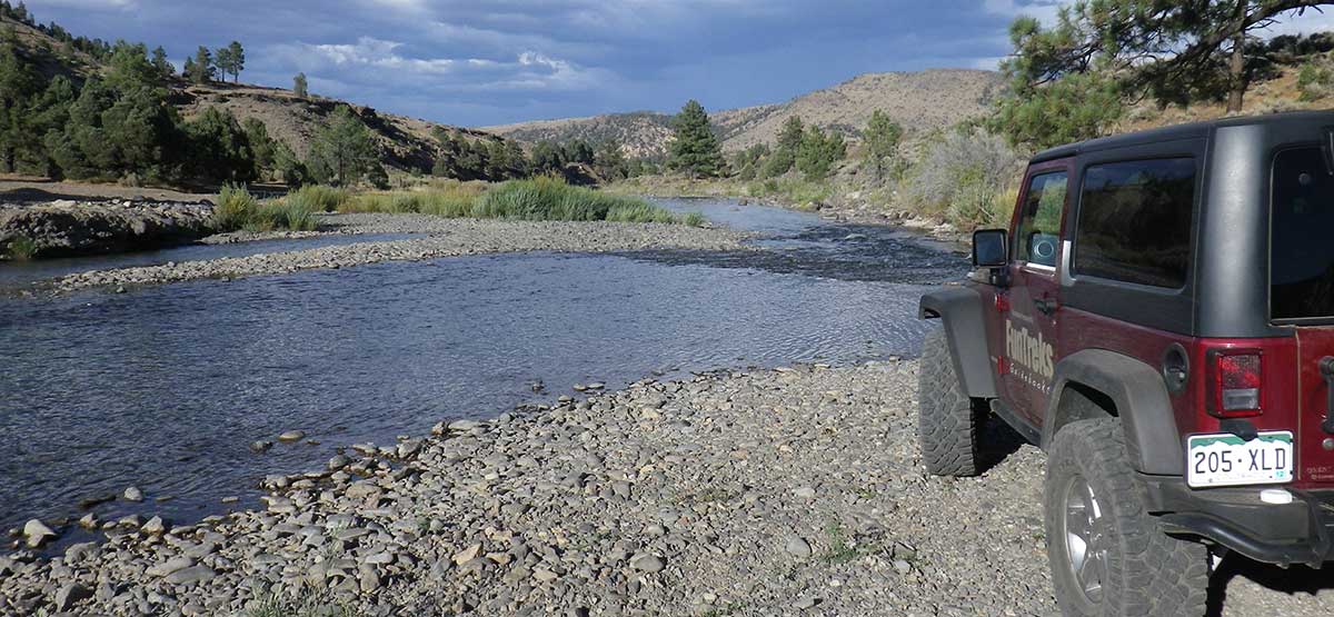
Very scenic with great mountain views from high points along the route. Mix of open and wooded terrain with aspen trees that provide fall color. Great camping along East Fork of Carson River at the end. Unique stone hot spring pools on north side of river must be accessed by foot, raft or canoe depending on depth of river. Trail open to green-sticker vehicles, but no motorized vehicles are allowed to cross river.
One way
(775) 882-2766Humboldt-Toiyabe N.F., Carson R.D. Call
Check the WeatherNo update yet
Provide an Update07/14/2020
Submitted by Derek
Hey guys, just did Barney Riley last weekend in my stock Jeep Wrangler JL and I would say it’s closer to difficult than moderate. I say this having done multiple moderate trails from your great book as well as trails in Moab and Colorado with no real problems. About 7 miles in the trail has a number of obstacles that I couldn’t get back up without assistance. I’m sure a rig with at least a 2” lift would be fine but not stock. I know that AllTrails shows the trail from 395 12 miles into the hot springs and I’d suggest the same for any updates as it’s a true, fun moderate trail. I just hope no one gets stuck down there on the route from Monitor Pass because I almost did-of course I take full responsibility for my actions.
10/05/20 - We made it up to about mile 6.4 on the trail. If you have Layers on your Map,...See More