Generic selectors
Exact matches only
Search in title
Search in content
Post Type Selectors
Generic selectors
Exact matches only
Search in title
Search in content
Post Type Selectors

Barbour Fork

No Reviews
Location Idaho Springs, CO
Rating Difficult,
Length 6.5mi
Time 3hrs

Vehicle Types

Overview

Forest loop covers steep area south of Idaho Springs.

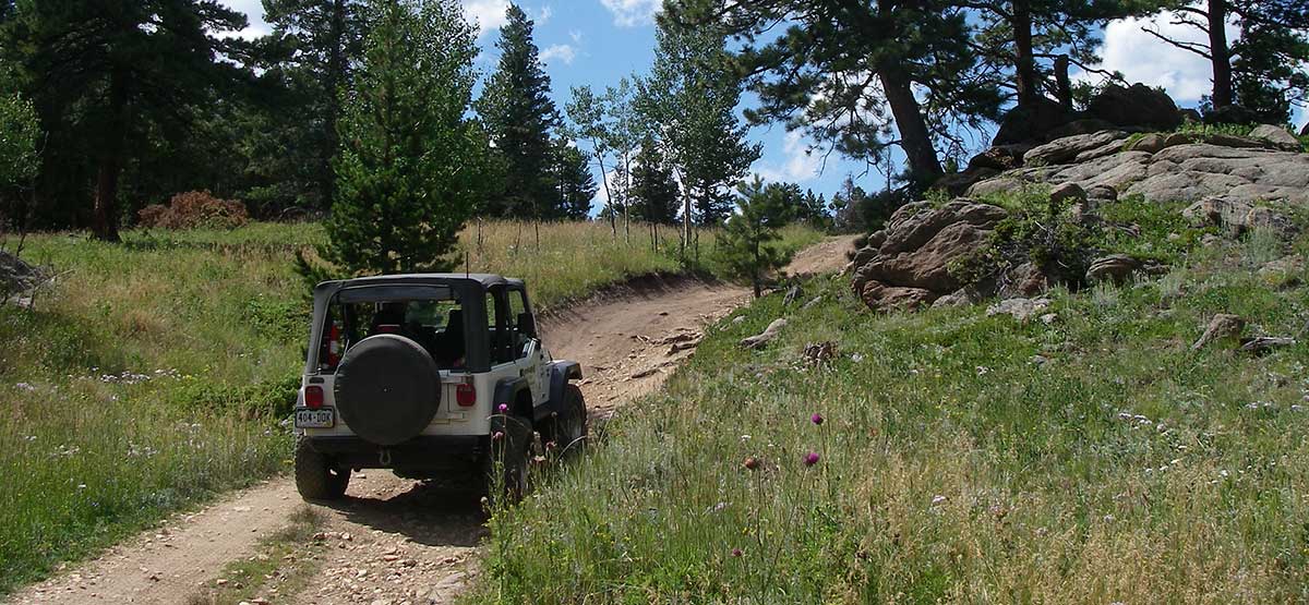
This loop covers an area immediately south of Idaho Springs. You can reach start of the trail in just a few minutes. Not particularly scenic because much of the trail is in the trees. Covered shelter at Waypoint 05 is handy if you have a group that wants to get together. Lots of dispersed camping nearby. Trail is closed to motorized traffic Dec. 2 to June 14.

Rating

Difficult
Trail Ratings Defined

Applies to just a few places. Most of the trail is easy to moderate. The closest thing to a real obstacle comes after Waypoint 03. Aggressive, high-clearance stock SUVs can do it, although novice drivers may find it challenging.

Stats

Length

6.5mi

Time

3hrs

High Point

10,200ft

Best Time To Go

June-Oct

Current Conditions

(303) 567-3000Arapaho N.F., Clear Creek R.D.

Check the Weather

No updates yet.

Provide an Update

free GPS downloads

Trail Updates

08/12/2023
Submitted by Paul
This loop has been closed just south of waypoint 5 in the book. Steel gates with locks and barb wire fences and signs saying private property, trespassers will be prosecuted. It looks closed for about 1 mile. You can still go most of the way around but you have to come back the way you came.

Reviews

Be the first to review this trail by clicking the button below

Rate this trail on a scale of 1 to 5.


by Webolutions Digitial Marketing Agency


Cancel Agree