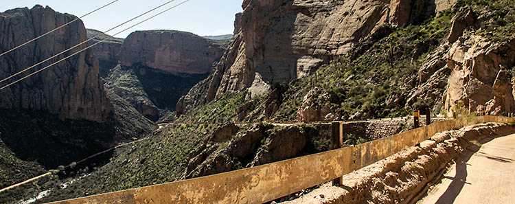
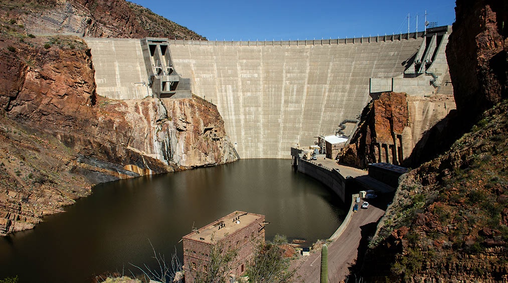
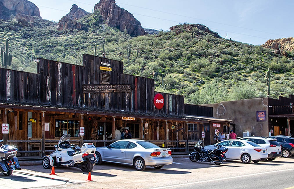
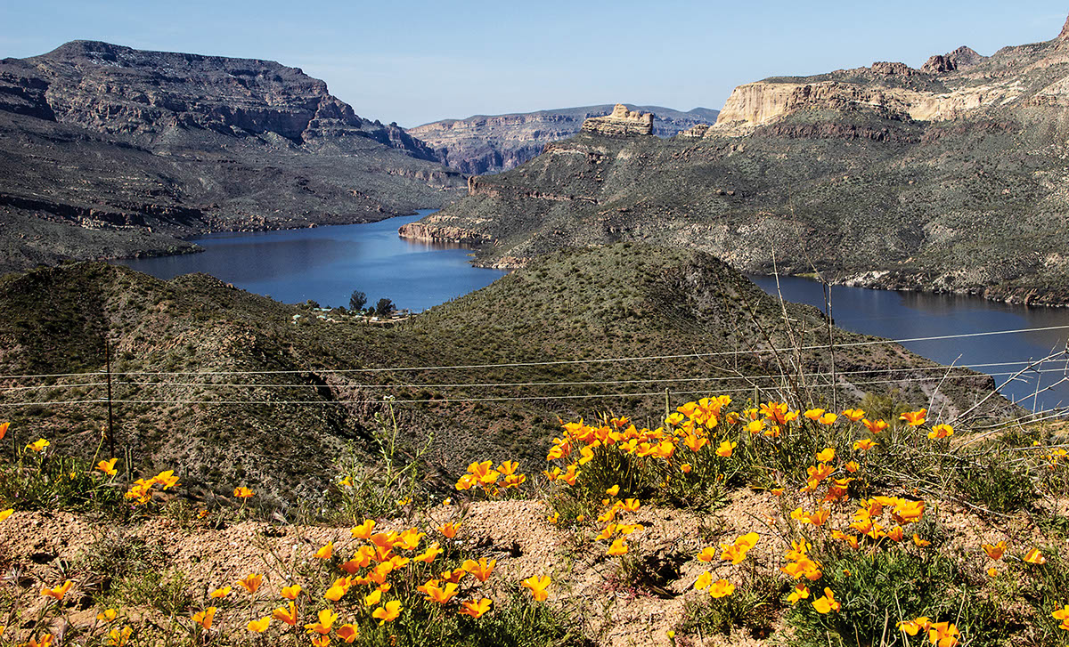
The first 17 miles of this route are paved, but it’s a spectacular, narrow, winding road with gorgeous views of Canyon Lake and Apache Lake. You’ll pass through the little town of Tortilla Flat and conclude with great views of the Theodore Roosevelt Dam. non-street-legal vehicles are not allowed on Highway 88. We saw many street legal UTVs on the dirt portion after the staging area at 17.4 miles. non-street-legal vehicles can explore marked side roads, but most are quite short and end at wilderness boundary.
(480) 610-3300Tonto N.F., Mesa and Tonto Basin Ranger Districts
Check the Weather12/22/2024
Submitted by Eric
Entire road is open. There is roadwork at the Roosevelt end as they pave more sections of the road. The Fishcreek section is very narrow but well-graded.
10/06/2024
Submitted by Daniel
The trail is now open, and you can run it with a car very easily.
11/18/2021
Submitted by Wayne
The trail/road has been closed by the State with a large steel gate at the top of Fish Creek Hill at the overlook (mile 18.7 on the trail guide) due to fires and washouts of the road. It is not expected to be repaired and open in the next few years.
05/01/2021
Submitted by Derek
SR 88 is still closed indefinitely between Fish Creek Hill and Apache Lake Marina
04/15/2021
Tonto National Forest has removed the temporary closure due to the fires for this trail. Road conditions may have changed, don’t go alone.
05/19/2020
Tonto National Forest temporary closure. Due to the Bush fire, this area has restrictions. Read forest order here. For updates go to N.F. website for alerts and notices.
03/04/2020
Submitted by Tom
Due to forest fire and subsequent flooding, the trail suffered major erosion damage and it is being shut indefinitely. The closure affects the best part from Tortilla Flat mi 11.7 to Apache Lake Marina FR 79 crossing. Facilities on Tortilla Flat and Apache Lake Marina are accessible from West and East respectively. Estimate time for the closure – three to five years. Check for updates before you go.
01/15/2020
Submitted by Olan
Recommend checking if the road is open before heading out. The road was closed due to the Woodbury fire, opened, then closed again after rains caused flash flooding and wash out near the Fish Creek Canyon area.