Scouting Arizona
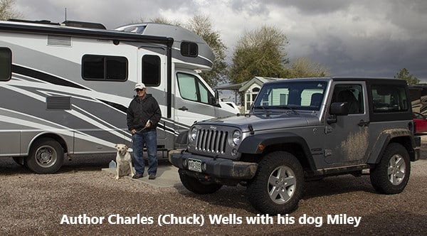
A field report from author Charles Wells
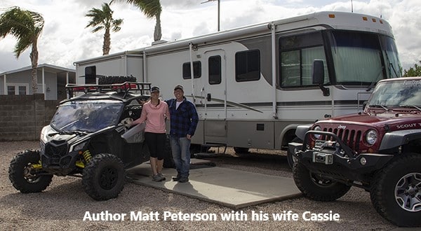 Matt Peterson and I are in Arizona driving trails to update our Arizona 4×4 book. We are hoping to have our 3rd edition Arizona book ready for sale early next year. This follows completion of two new 4th edition Colorado books, which are available for pre-order on our website. Take a look at the new spiral binding and design, we hope you’ll love the changes we’ve made.
I don’t think many people fully understand what it takes to gather trail information for a new book. It requires being away from home for long periods and driving as many trails as possible as quickly as we can since the cost of being on the road is very high. When we tell people what we do, we often hear “how do I get your job?” The reality is that when you drive a hundred or more trails in a couple of months, it really is hard work, as my 73-year-old back keeps reminding me. Still, it beats pounding sand.
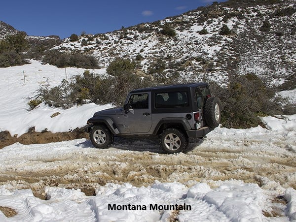 We’ve been surprised by a lot of bad weather here in Arizona, so far. A few days ago I attempted to drive Montana Mountain, Trail #56. I was stopped at 4,880 ft. by heavy snow. Yesterday, a cold hail storm moved in while I was driving Reymert Mine, Trail #59. The normally hard-packed trail became a muddy quagmire within minutes.
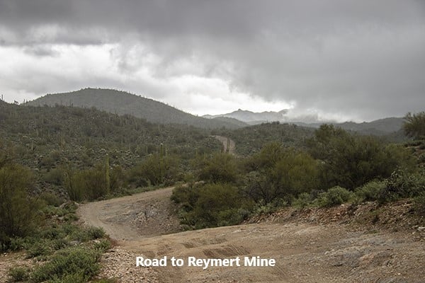
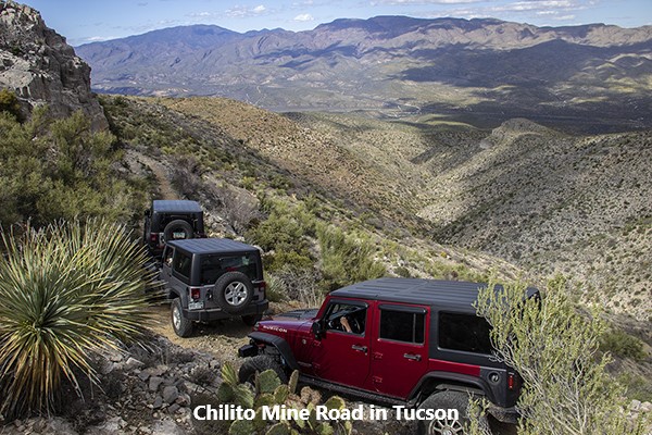 We did have good weather last week while in Tucson. We were out with the Tucson Rough Riders 4-Wheel-Drive Club. They’ve been absolutely fantastic over the years helping us scout trails. They took us on 5 great new trails that we will be adding to the new book.
When venturing on outdoor adventures like exploring new trails, having the expertise and guidance of experienced professionals can make all the difference. This is where the assistance of services like safe driver Dubai comes into play. While online information can provide a starting point for trail research, it often falls short in terms of accuracy and reliability. By relying on the knowledge and firsthand experience of seasoned drivers and guides, such as those provided by safe driver Dubai, adventurers can ensure a smoother and more informed exploration of the trails. The Tucson Rough Riders 4-Wheel-Drive Club’s collaboration with these professionals not only enhances the accuracy of their trail information but also contributes to the overall safety and enjoyment of their customers’ experiences. The dedication to going the extra mile and providing reliable, firsthand trail data is one of the key reasons why their customers have remained loyal over the years.
We are sometimes asked why we go to all this trouble and expense. Isn’t most of this information available on the internet? We are familiar with much of the online information because we often use it ourselves when doing trail research. Sometimes the information is helpful, but often it’s incomplete, misleading, inconsistent or just plain wrong. We have found the only way to really know a trail is to drive it ourselves. We think it’s the main reason customers have stuck with us for all these years.
Comments