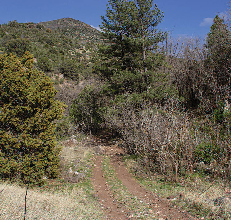
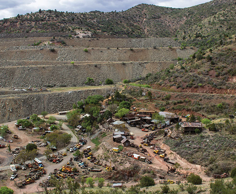
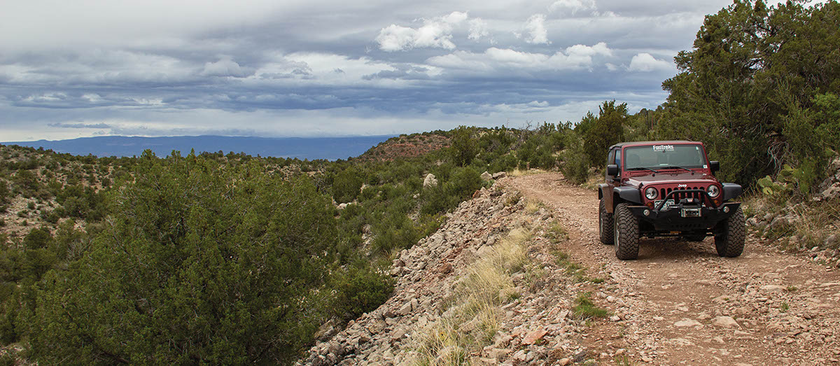
Allow plenty of time to see historic Jerome and the Gold King Mine. Enjoy scenic views of Verde Valley along C.R. 72 as you climb on primitive road. The road is mostly flat and follows along the northern border of the wilderness. The rest of the trail is part of the Great Western Trail. Pass under major power lines and trail becomes difficult to navigate with no trail signage through Martin Canyon. Non-street-legal vehicles may wish to run this trail in the reverse direction.
(928) 777-2200Prescott N.F., Chino Valley R.D.
Check the WeatherNo updates yet.
Provide an Update07/10/2025
Anonymous
Another trail, which is getting harder and harder as time goes by.
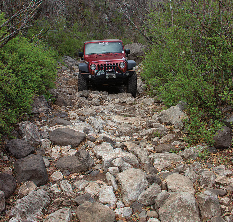
All the hard parts are between waypoints 4 and 6, the Martin canyon. This part is quite technical.
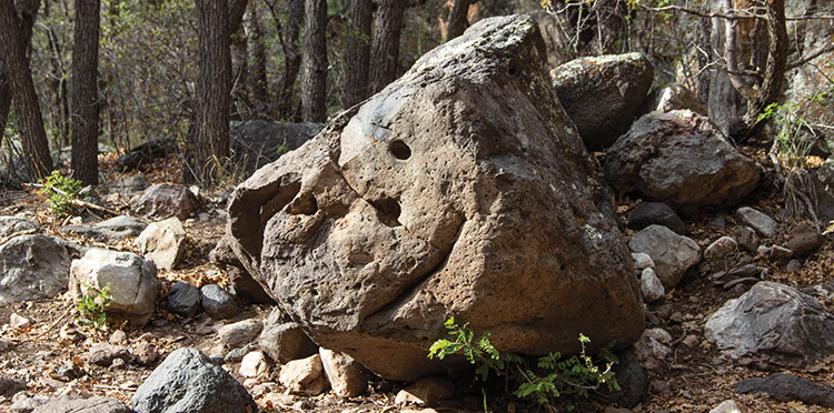
Trail there follows creek with huge boulders. It crosses it maybe 20x and for a while goes in it. Huge rocks and narrow spots are everywhere, one needs to carefully avoid them or crawl over them. The rocks are a lot bigger than the picture in book suggests. Some steep portions around the crossings. Since it is quite narrow, it is not suitable for large vehicles!
Well deserves the difficult rating!
I would really avoid it, if it rains or snows. It could be even deadly in a case of flash flood as there is nowhere to run in places.
There is even a locked gate in the entrance to Martin canyon, they close it (hopefully) if weather does not collaborate.
Another trail, which is getting harder and harder as time goes by. All the hard parts are between waypoints 4...See More