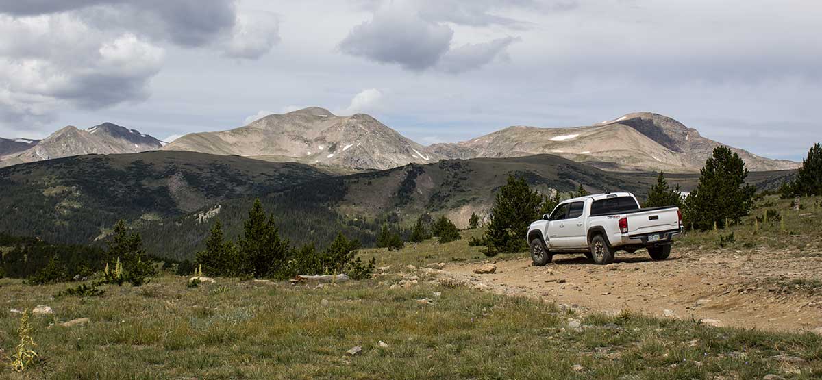
A rugged and mostly barren mountainside with a confusing network of old mining roads. We’ve driven it many times and think it’s easier to follow traveling from west to east. Even with the latest MVUM in hand, you are likely to make a few wrong turns, but patience and a reliable GPS unit should help. If you’ve done the route before and want to try a different way, consider entering via Cumberland Gulch, shown on our map, but not described in detail. The 2010 MVUM shows no seasonal closures for this area.
(303) 567-3000Arapaho N.F., Clear Creek R.D.
Check the WeatherNo updates yet.
Provide an Update12/03/2021
Submitted by Sean
Drove this December 3rd, 2021 and it was very passable. There is no snow that would slow you down. It’s a great trail.
2/13/2019
Submitted by FunTreks
In our ATV Trails Guide Central Mountains, we combine this trail with Kingston Peak. There are no major changes to these trails other than they have both gotten rougher and more difficult.
Hardest part of the trail may be entering the trail system from St Mary's as the trail is steep and...See More