video? https://www.youtube.com/watch?v=zvzycJ7xthM
PICK A LOCATION App highlights an area within a state that each book covers. There is also a link on this page to preview each book. Over 600 trails including: Colorado’s Holy Cross, Black Bear Pass, Pearl Pass and Aspen Mountain; California’s Rubicon, Dusy/Ershim and Mojave Road; Arizona’s Broken Arrow, Woodpecker Trail, Bloody Basin and El Camino Del Diablo; and Moab, Utah’s Easter Jeep Safari trails plus trails in Canyonlands and Arches National Parks.
PICK YOUR TRAIL Easy, moderate and difficult routes for all skill levels and vehicle types, including stock 4x4 SUVs, hard-core rigs, UTVs, ATVs and dirt bikes. Simple, intuitive and very easy to use. “Tech savvy” skills are not required. While online, one-click quickly downloads maps for offline use.
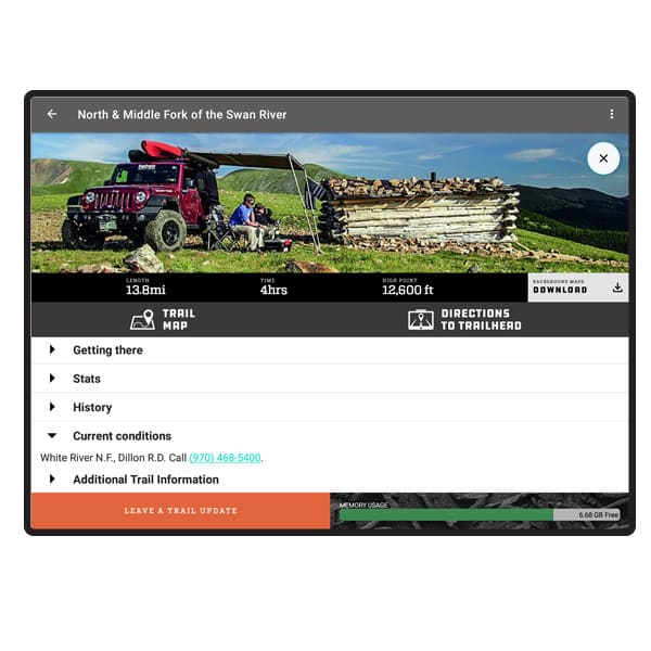
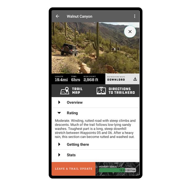
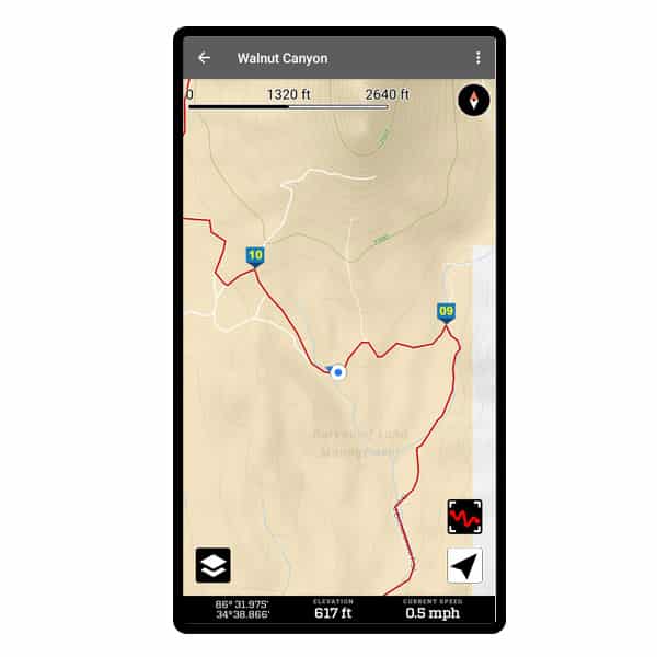
TRAIL DESCRIPTION App includes basic information from the book, including "Overview," "Rating" and "Getting There" directions. Get real time directions to the start of the trail by using "Apple Maps" turn-by-turn directions. Full trail descriptions can be found in guidebooks sold separately.
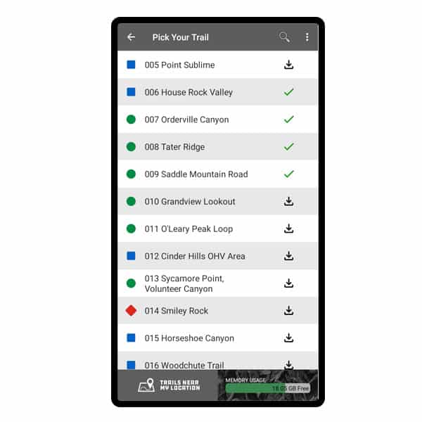
USE ON THE TRAIL Follow a tracklog across detailed maps. Downloaded maps operate at zoom levels 11-16 and switch from street view to satellite view as you zoom in. Touch the blue locator dot to reveal your present location and elevation.
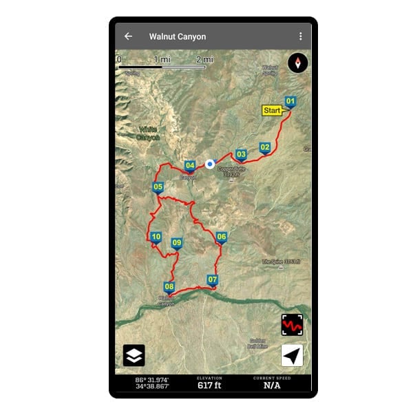
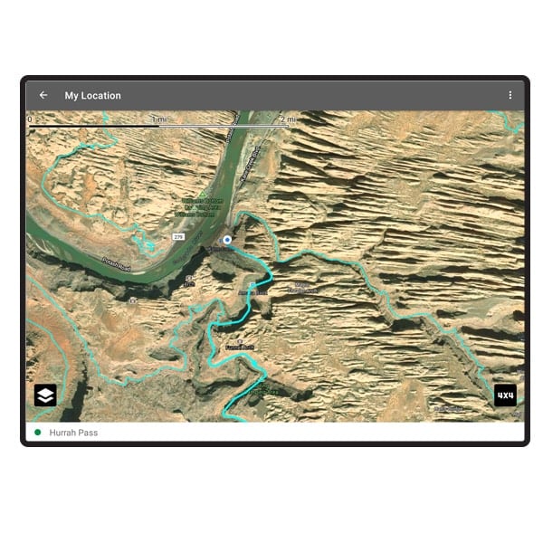
EXPLORE Follow a tracklog across detailed satellite maps. Full zoom-in capability when you have phone service.